A brief description or summary of this event/activity
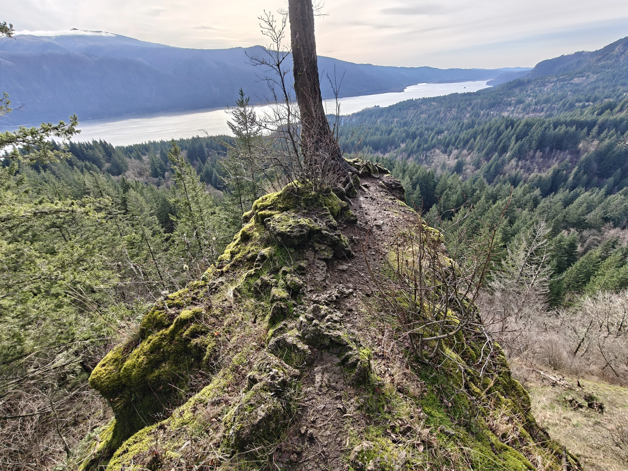
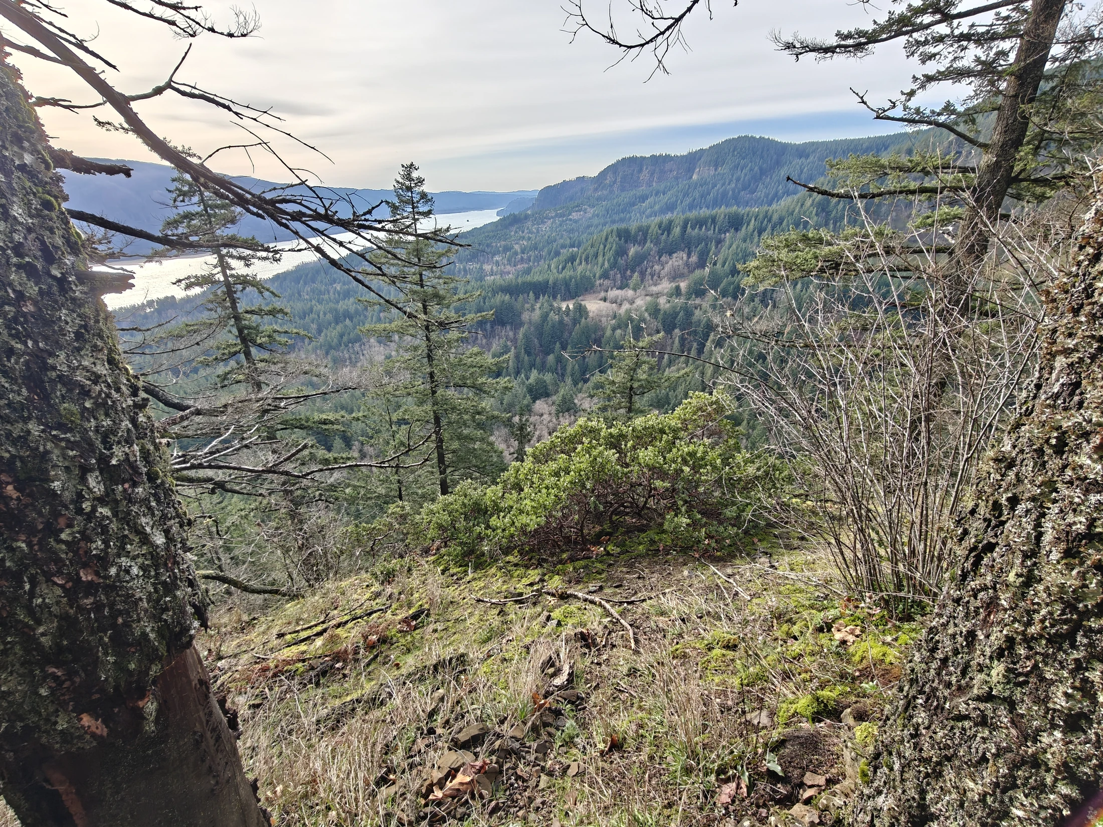
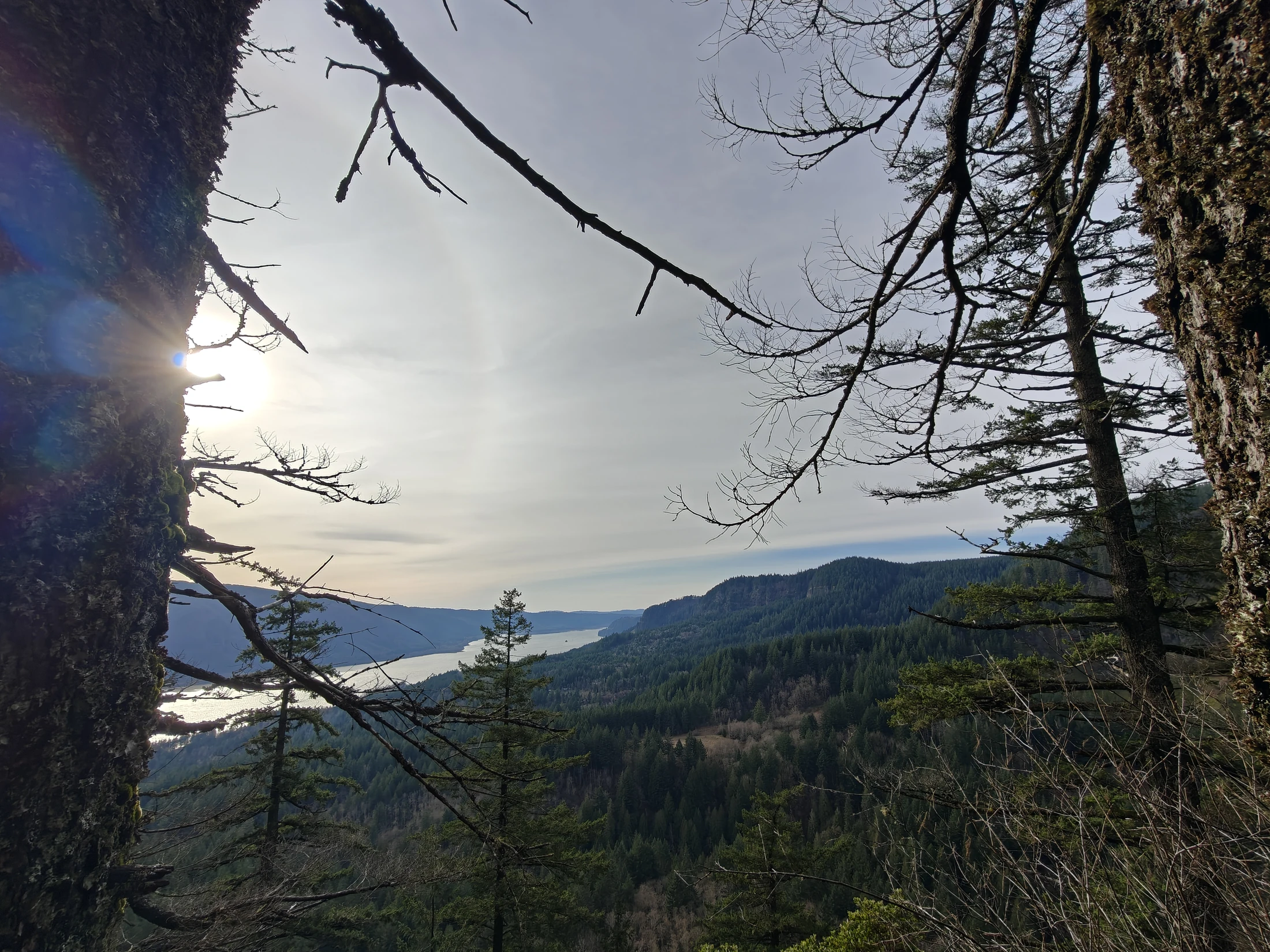
| Location | Archer Mountain, Columbia Gorge, WA |
| Date | 12/28/2025 |
| Team | Lance |
| Activity | Hiking |
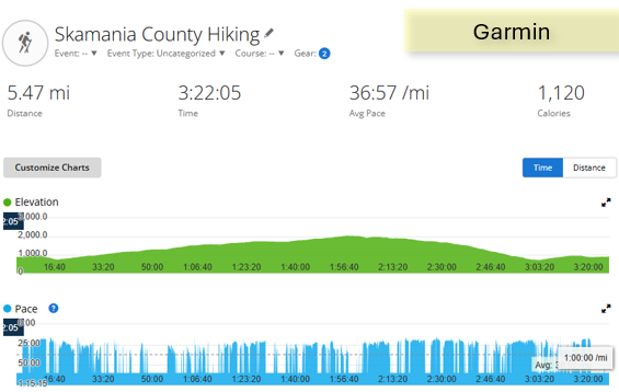
| Stats | 5.47 miles, 1,744 ft ascent, 1100 calories |
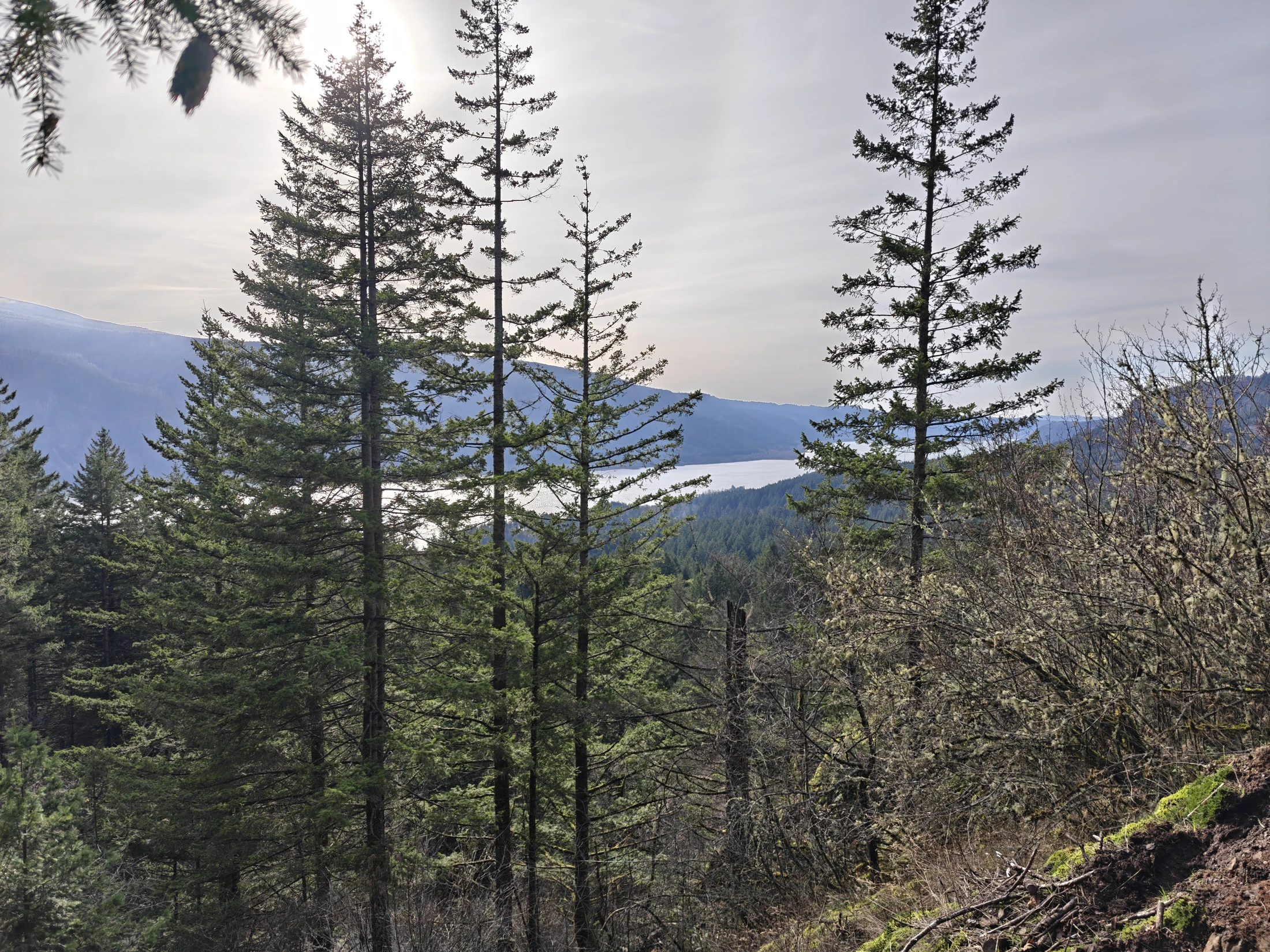
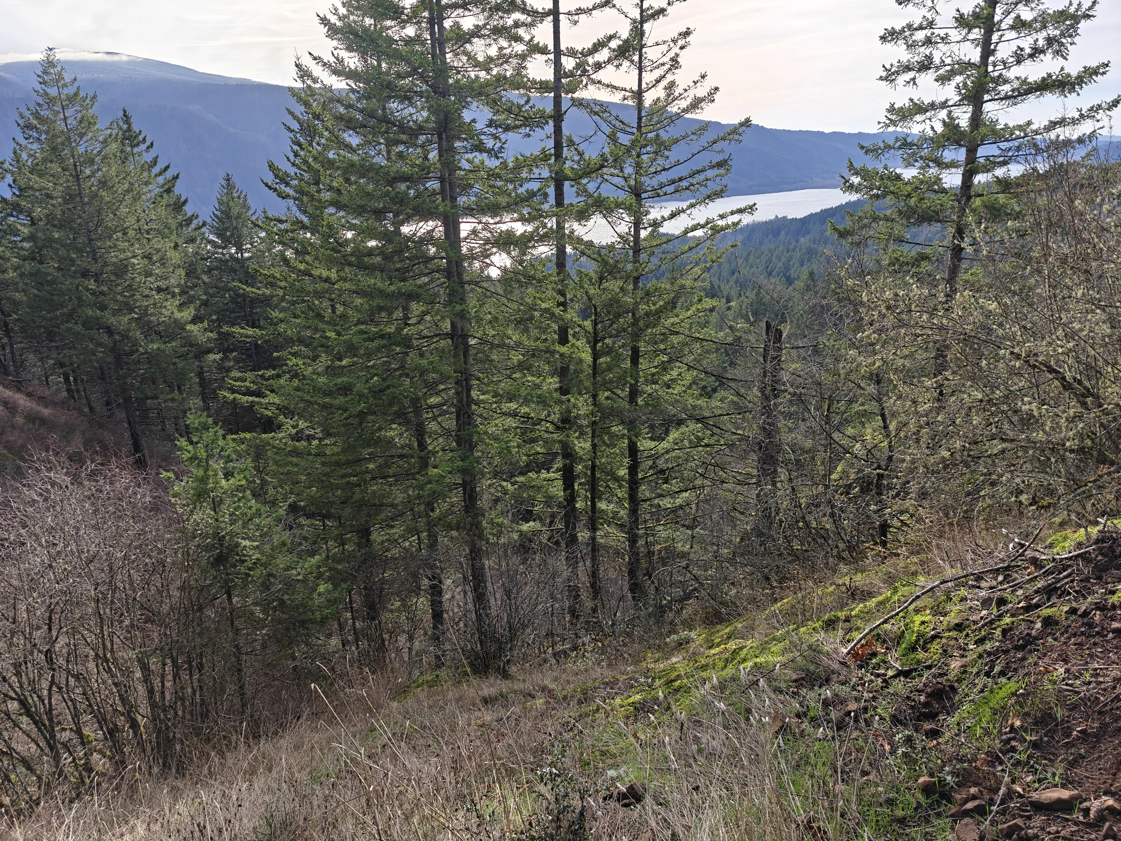
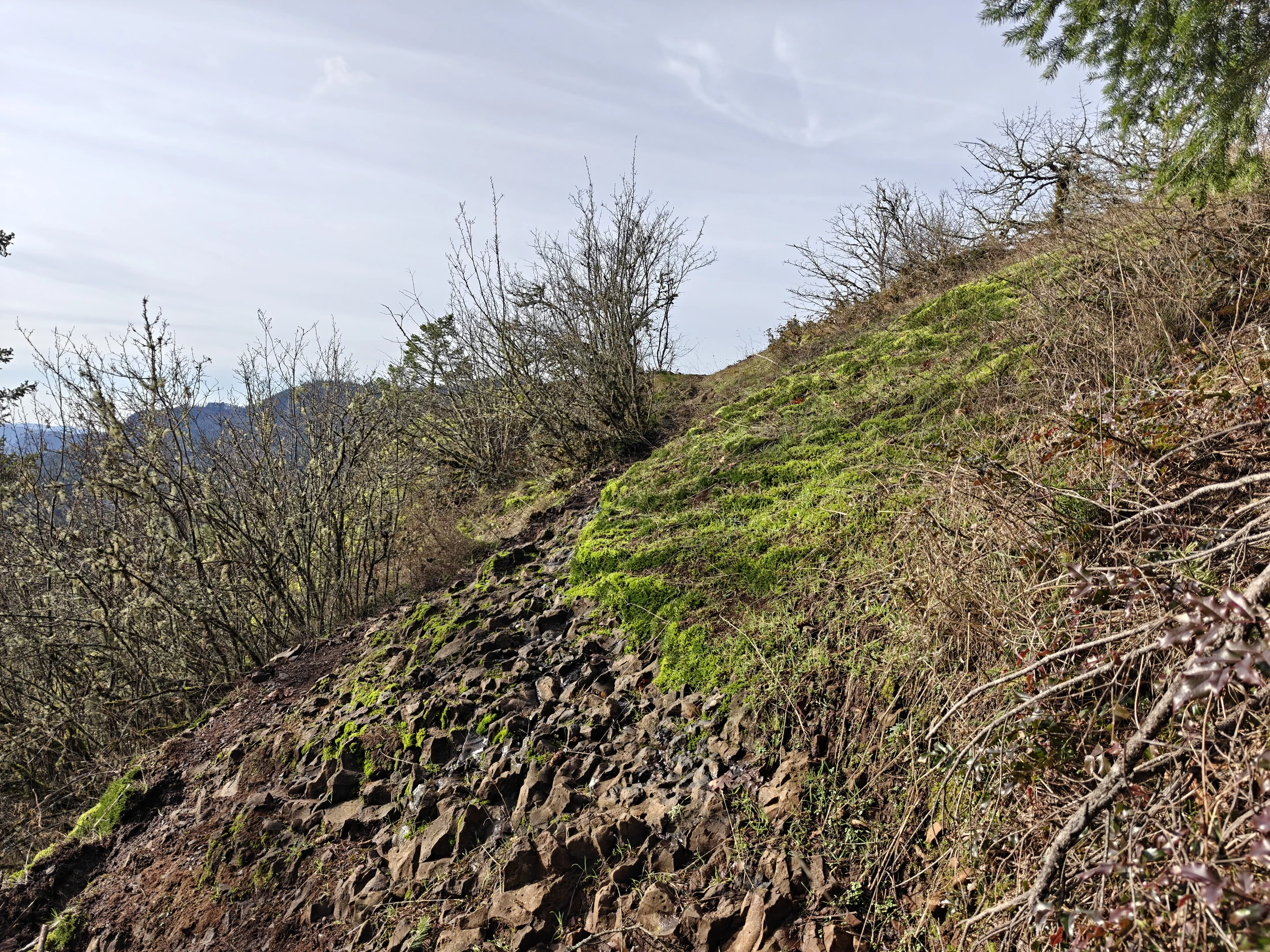
| Conditions | Steep, several view points, <40°F, mostly clear skies |
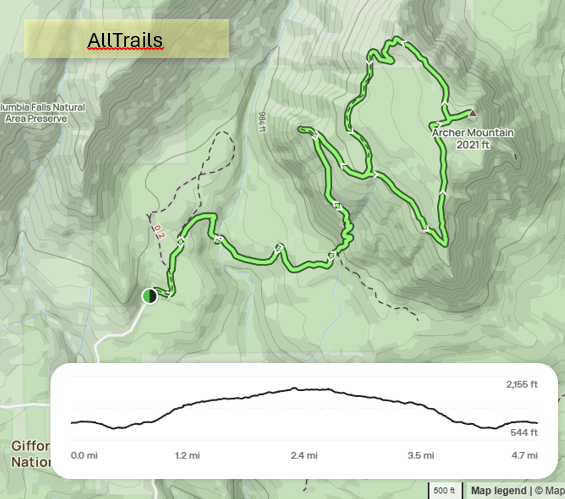
Map
Video
360° Vids
Scott Point
Summit
Story
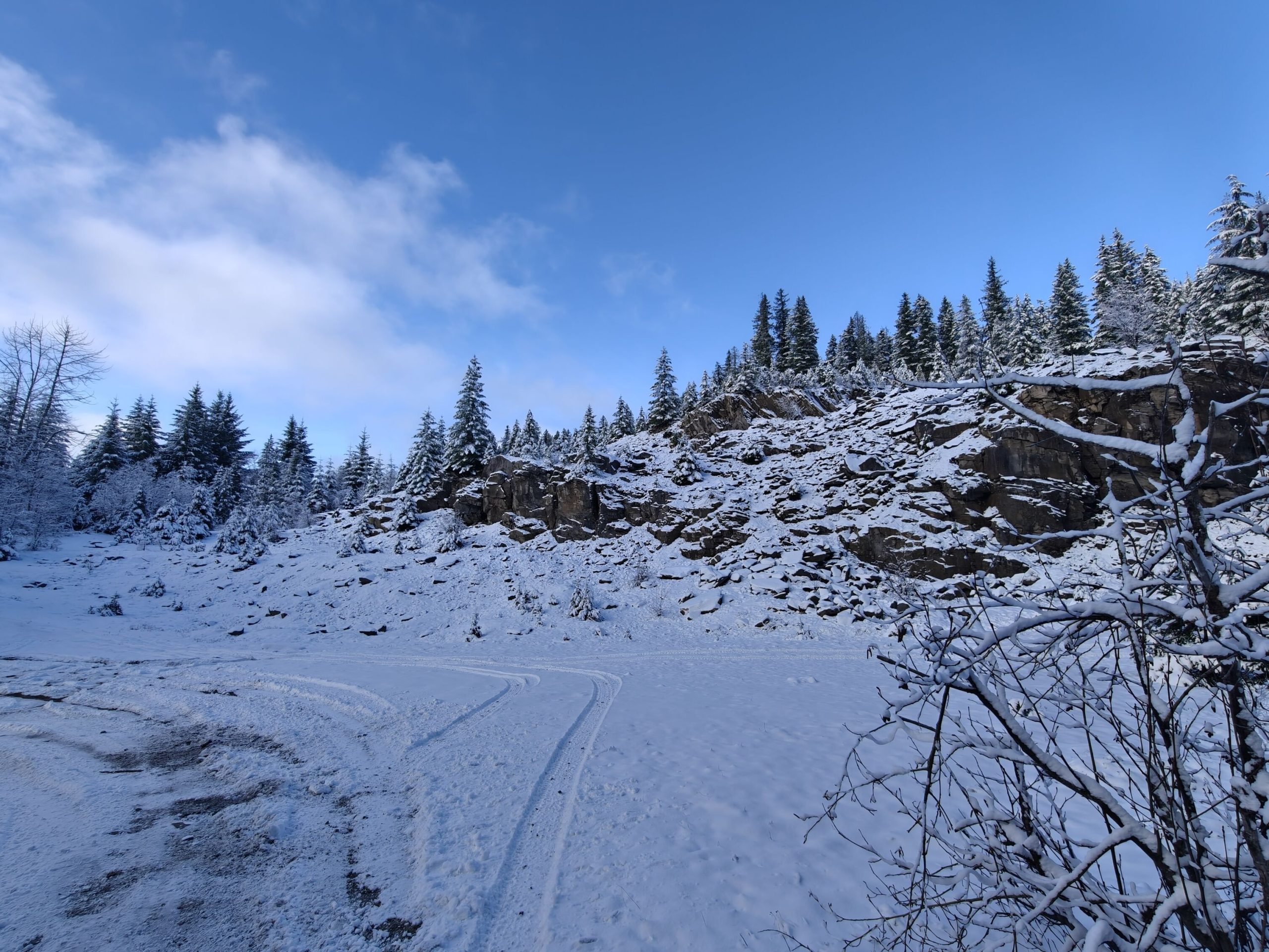
The day started off with me attempting to get to Falls Creek Cave for some caving. I knew there was snow in the area, but was hoping the roads wouldn't be too bad. I got within a mile before having to back down the mountain. Closest parking would have made it a two mile snow hike with my caving gear in tow, so I am postponing until snow melt.


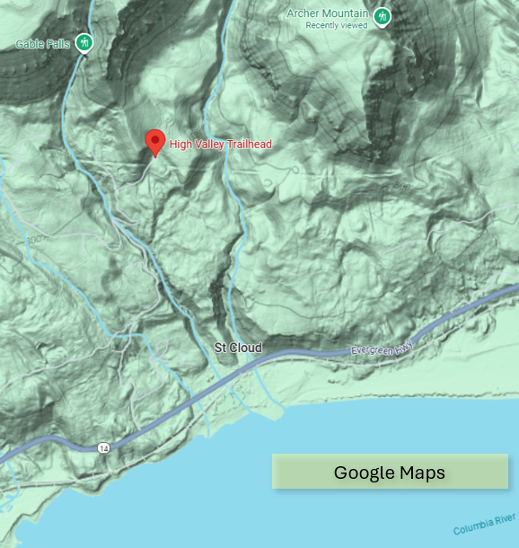
Next, I decided to try Archer Mountain - never been up there before. So I used Google Maps. Google does not know where Archer Mountain Trailhead is, so it guided me up to a secluded little neighborhood in the woods... far from my trail.
For those who go looking, the trail is know as 'High Valley Trailhead in Google Maps.
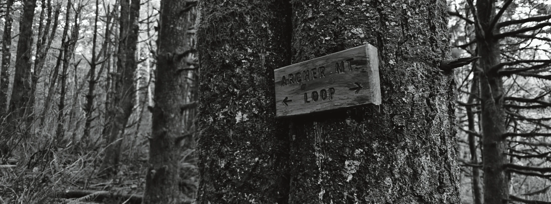
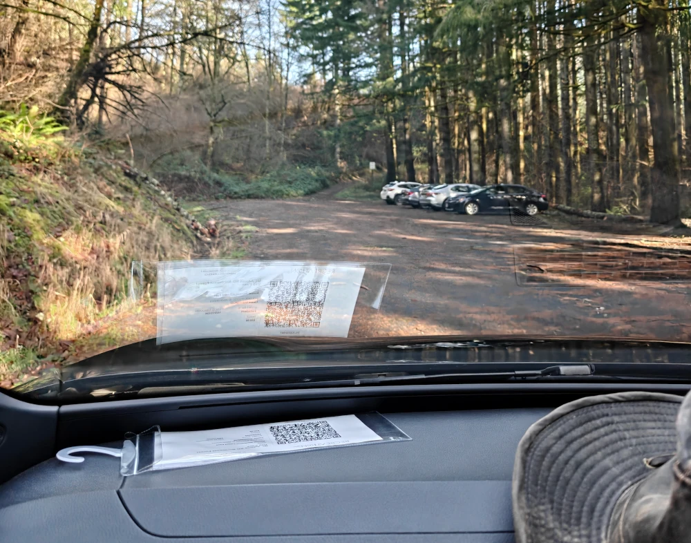
Trail was not very populated; 4 cars in the lot and I passed maybe 4 people on my route.
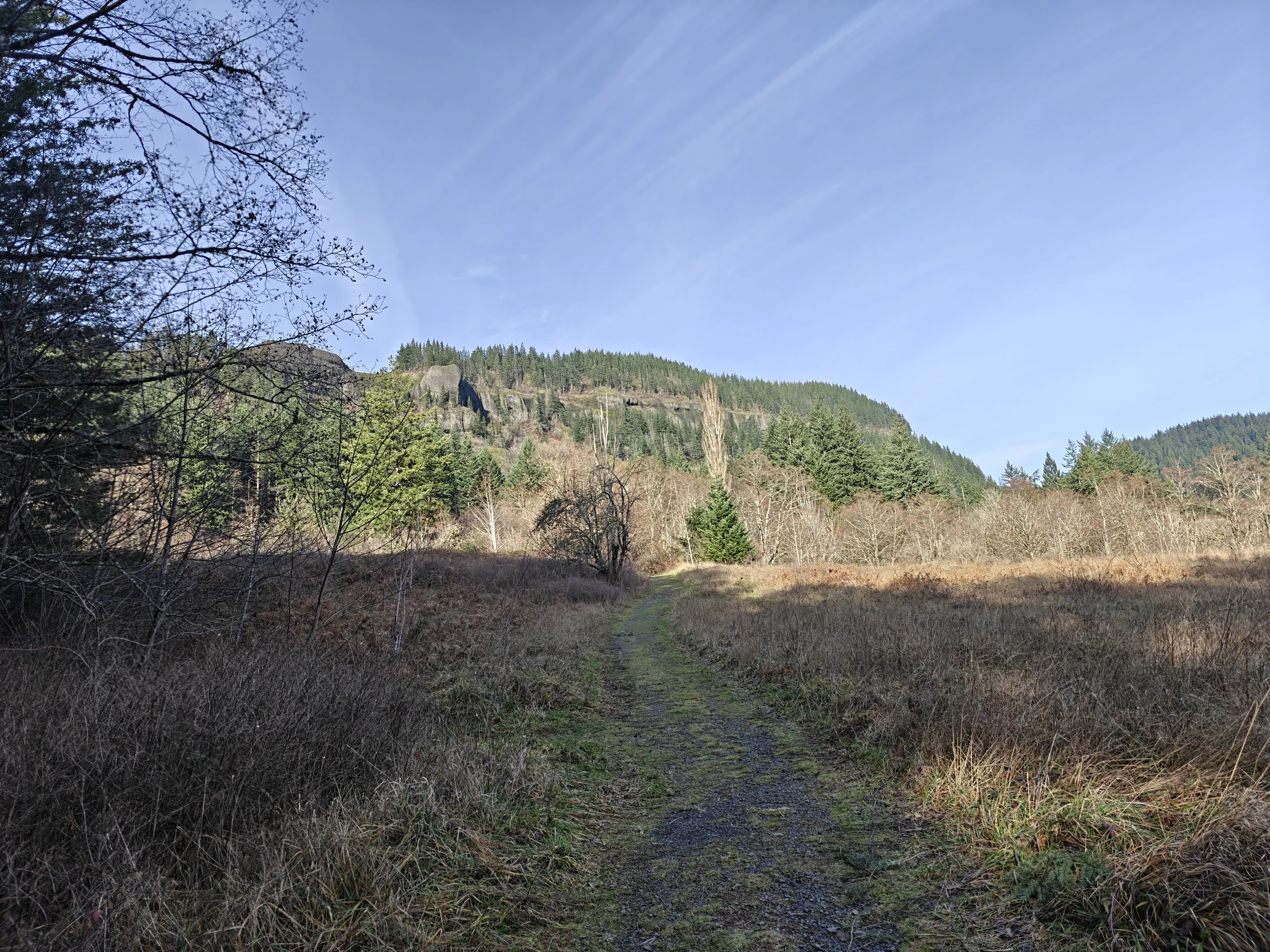
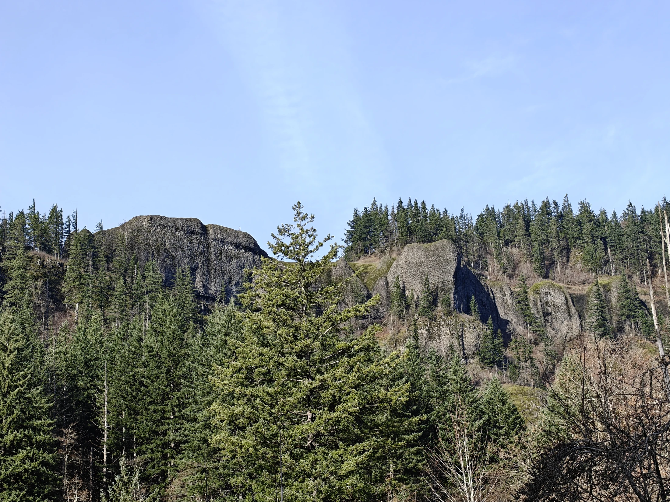
A little over 5 miles and around 3 hours to make the loop. I lost a baggie with gingerbread cookies in it, near the summit, so if you see them, send me a pic!
Panorama


Gallery














- «
- 1
- 2
- »