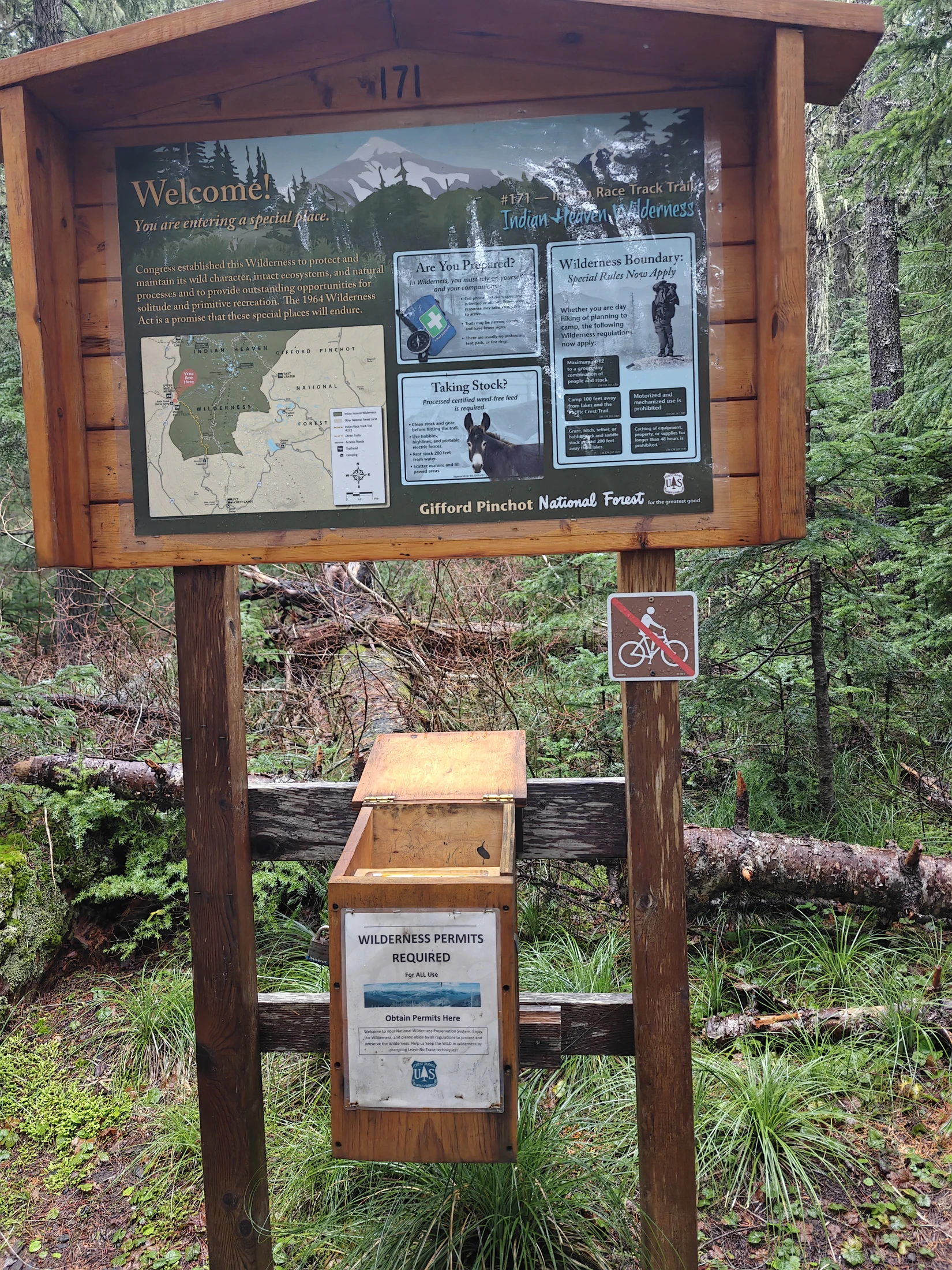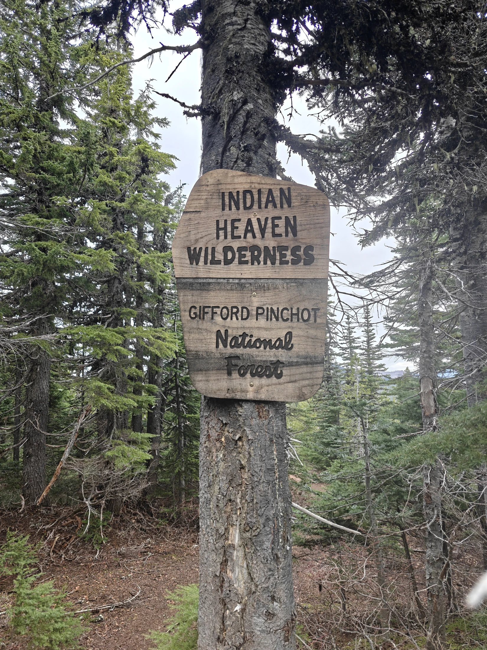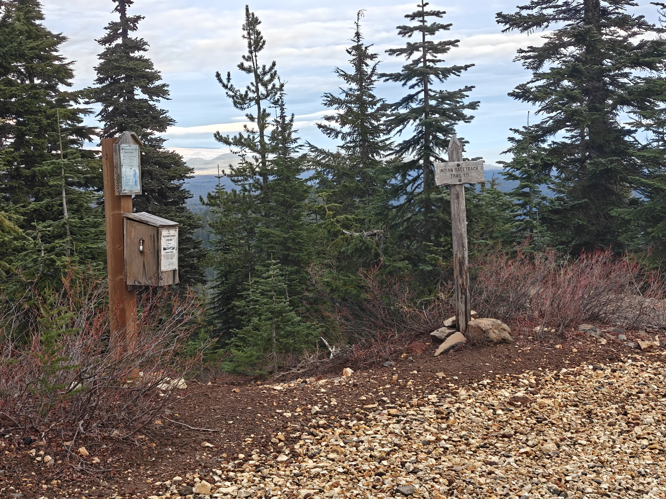
I saw maybe one car off the side of the road on my way up and not another person the entire time I was out here. I am thankful for the wilderness permits.
Here is a quote from the US Forest Service website on the Indian Racetrack:
Indian Racetrack was, historically, an annual gathering place for Native Americans during the berry season until the early 1900s. From eyewitness reports, we know that thousands of people from the Yakama, Klickitat, and Columbia River tribes would gather here each year. Not only was this a good huckleberry site but it was located along a historic cross-Cascades route that was used for trade. The track was used for pony races and is about 10-feet-wide and more than 2,000 feet long.
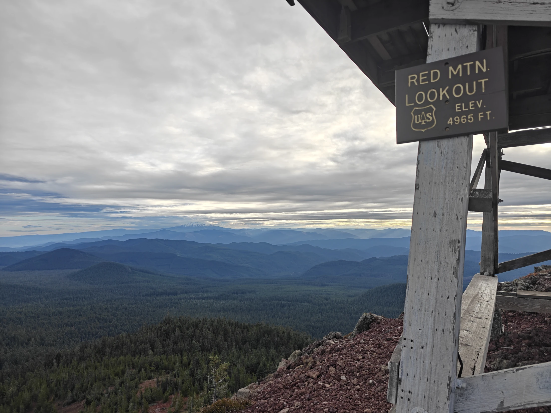
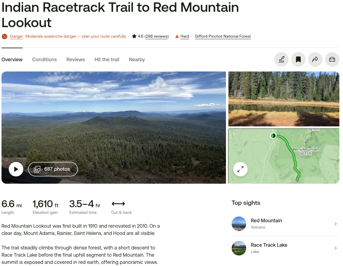
| Location | Indian Racetrack and Red Mountain; Gifford Pinchot National Forest, Washington. Views of Mt Adams, Mt Rainier, and Mt St Helens. |
| Date | 12/14/25 |
| Team | Lance - Solo |
| Activity | Hiking, Photography, Exploration |
| Stats | 4 hours, 7.25 miles, 1,650ft ascent, 1350 calories |
| Conditions | Cloudy and wet.... very wet. |
Map (driving)
Well, this was my plan. I spent some time looking for Falls Creek Caves (found the entrance!) and it was dark by the time I finished hiking down from Red Mountain, so I had to skip Guler. Coming soon if weather permits.
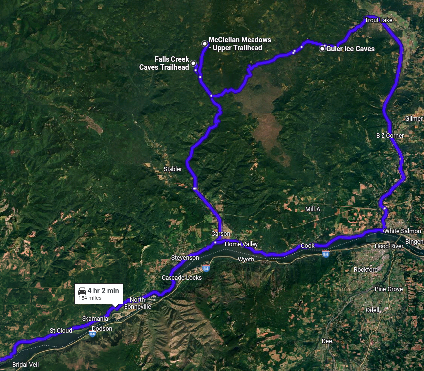
I didn't actually make it to Guler Ice Caves... it was dark when I got off of Red Mountain.
The hike
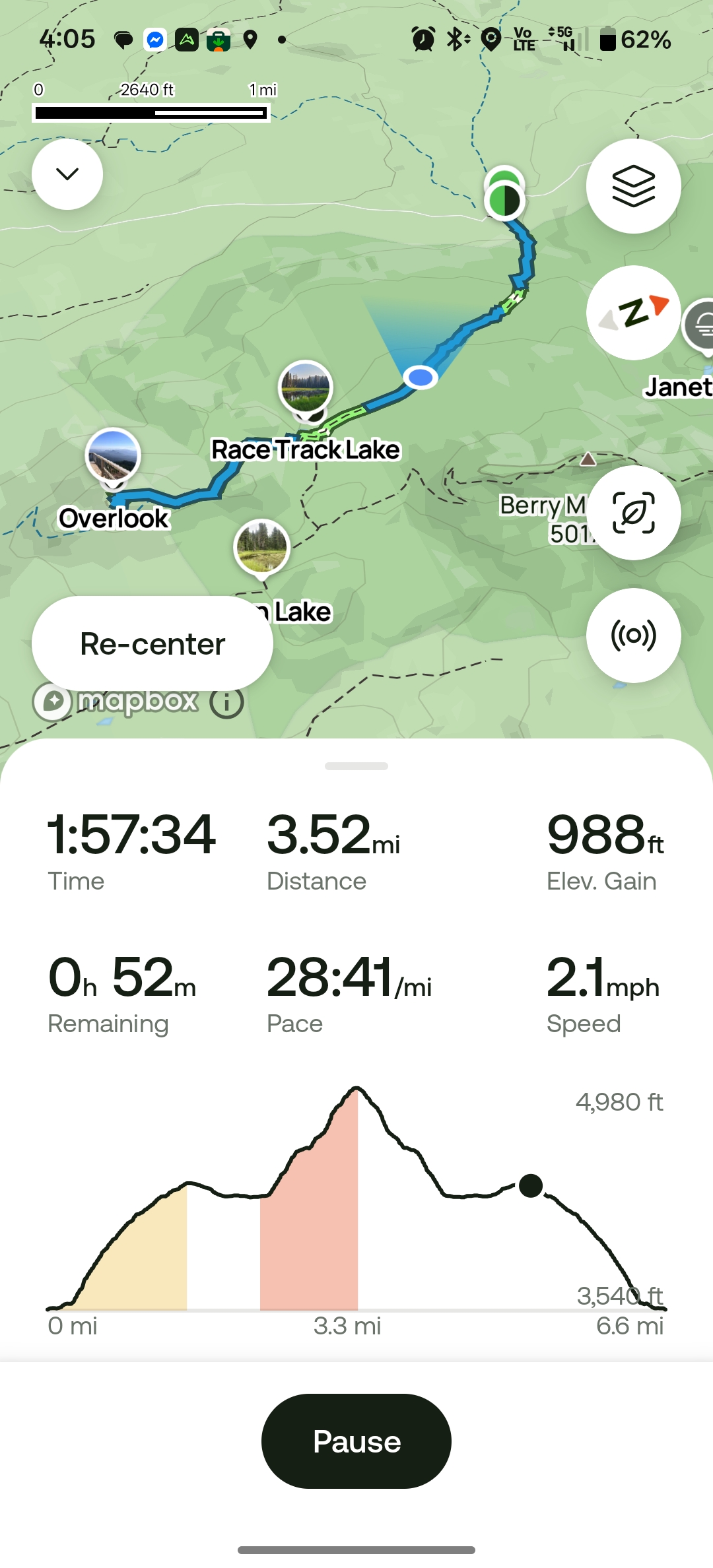


The Indian Racetrack (360° vid!)
Roadside falls (under-road)
This was so loud, I had to stop and take a look.
I know... not very exciting...but I found it interesting.
Up the trail
The wetlands
Down the mountain... IN THE DARK!
Story
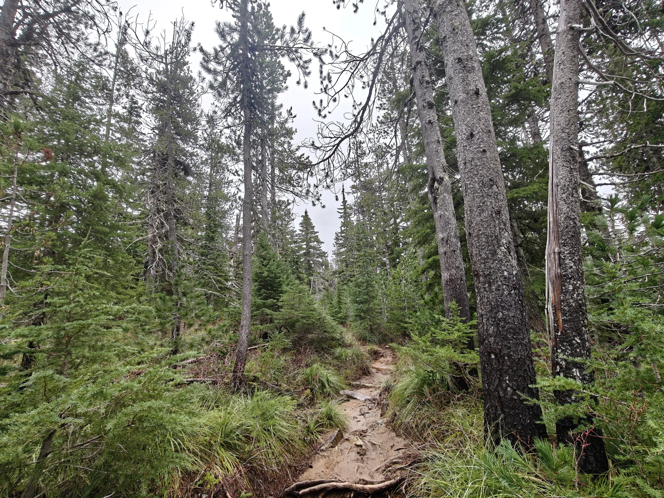
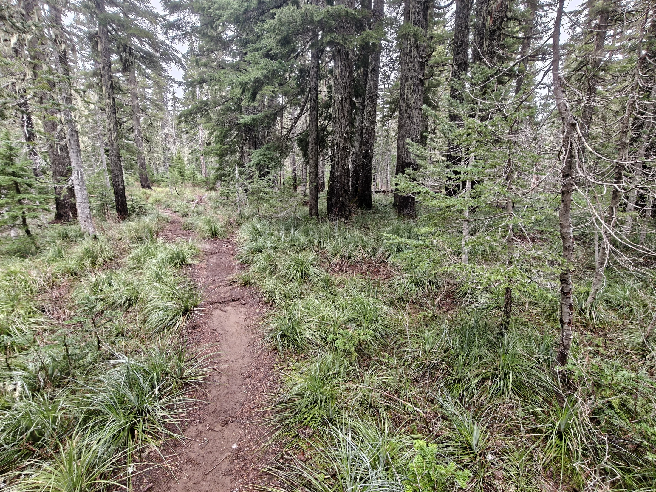
Early on the trail was underwater. I seemed to be hiking up a creek most of the way.
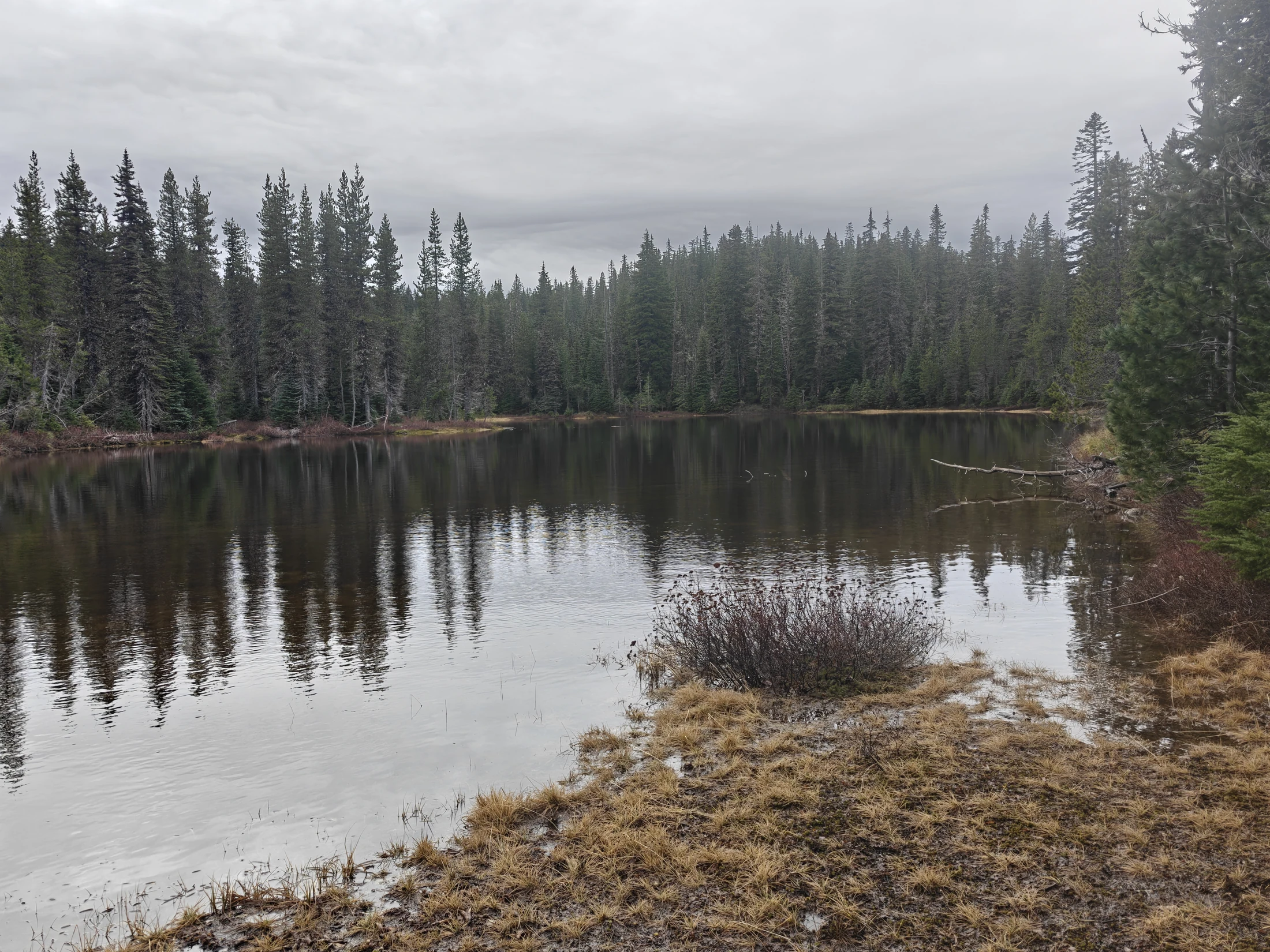
When I neared the Indian Racetrack, the trail became a lake. The lake was shown on the map as 'Meadow'... right next to an actual lake - Indian Racetrack Lake.
I left the trail and hiked through the woods around the 'lake' until I could safely meet back up with the trail. The ground was still mostly water... If it was warmer out, I could have just hiked on through. The meadow was maybe a foot deep all the way across.
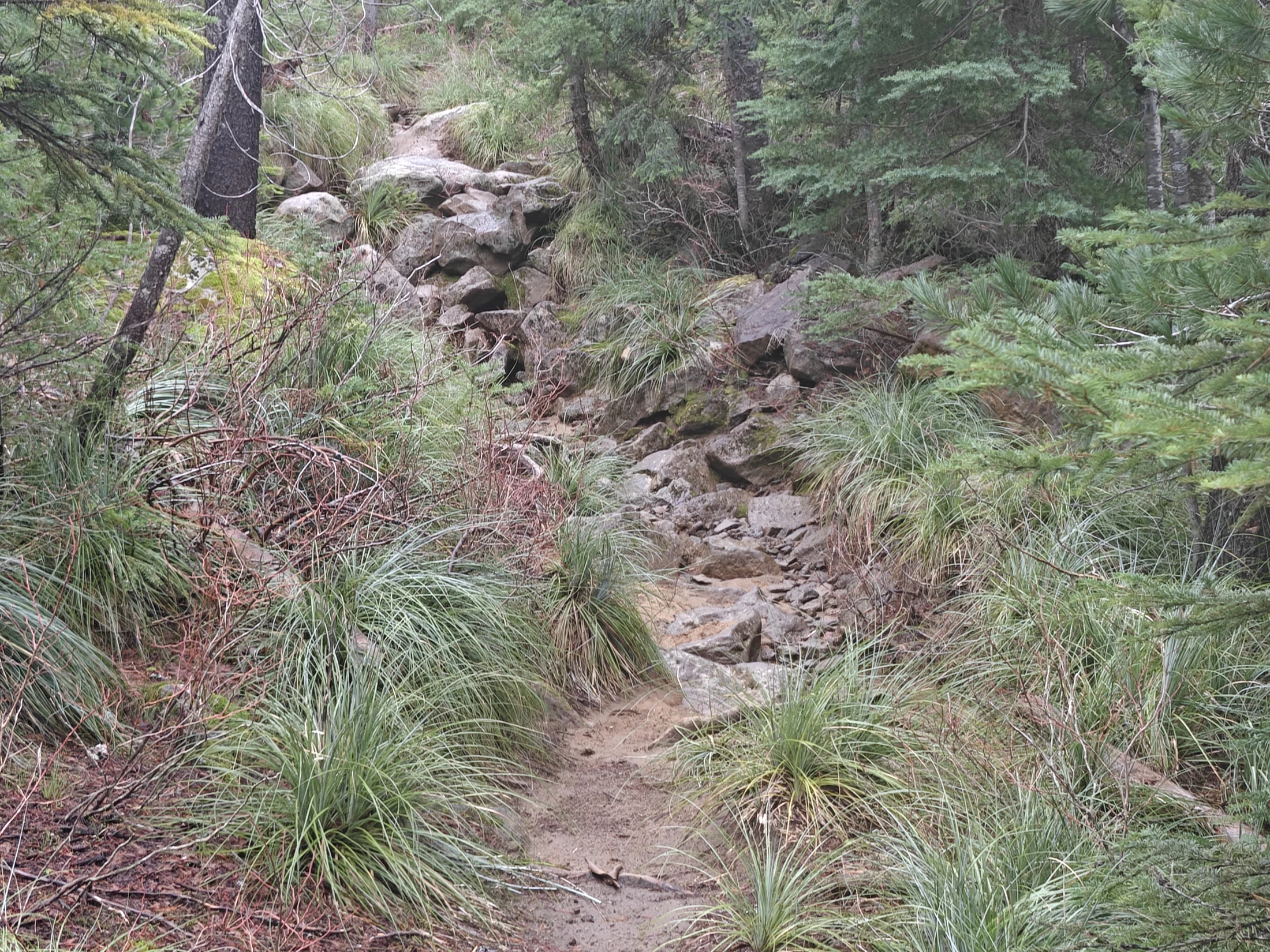
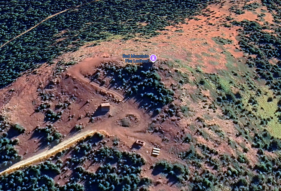
Near the top, the trail opened up to a steep, loose rock, climb the rest of the way... at least until I met up with the old forest road that went the last few hundred feet up to the peak and tower.
The Peak
Pics
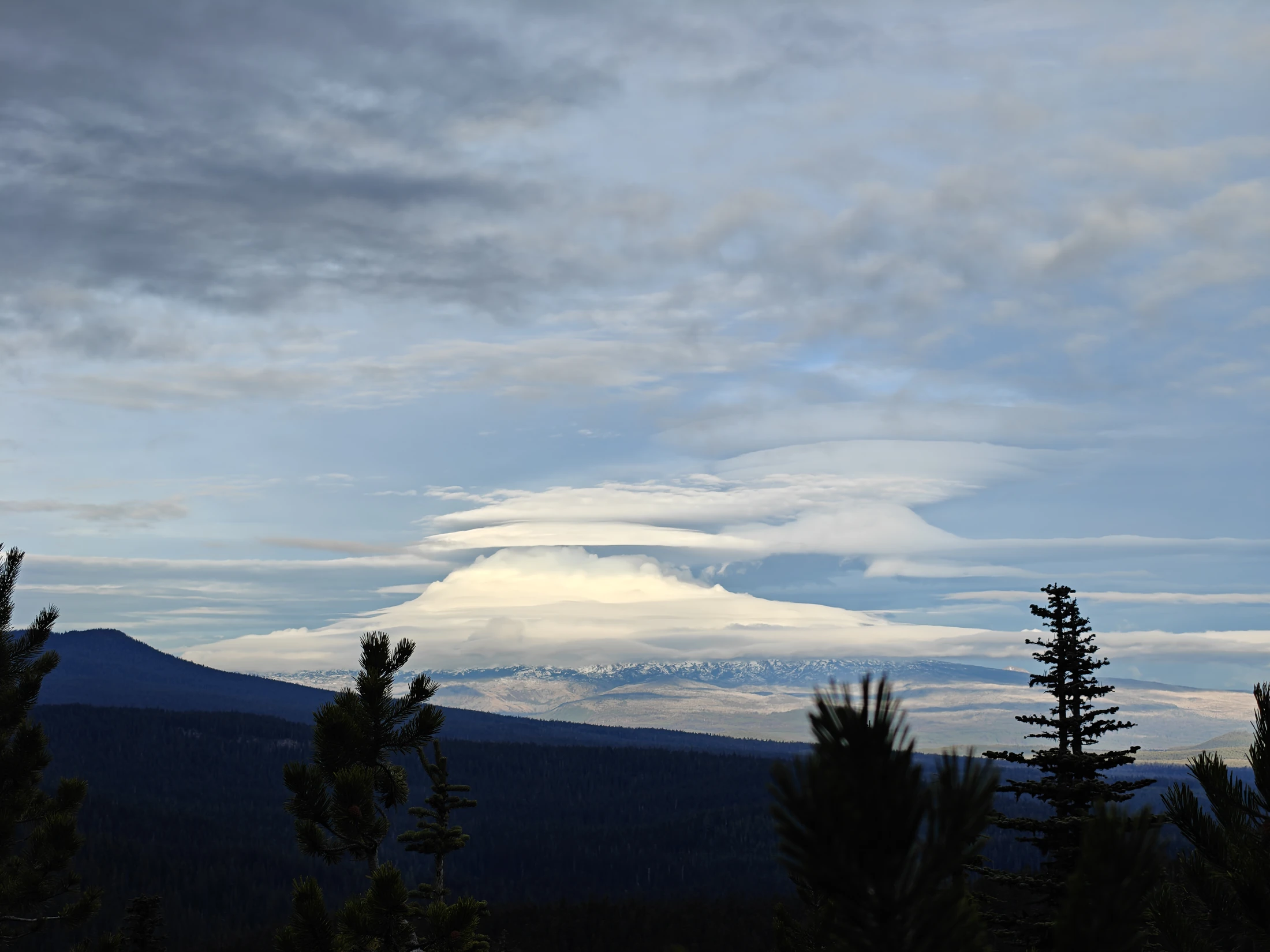
Some stillshots... highlights, from the journey.