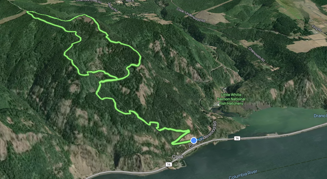
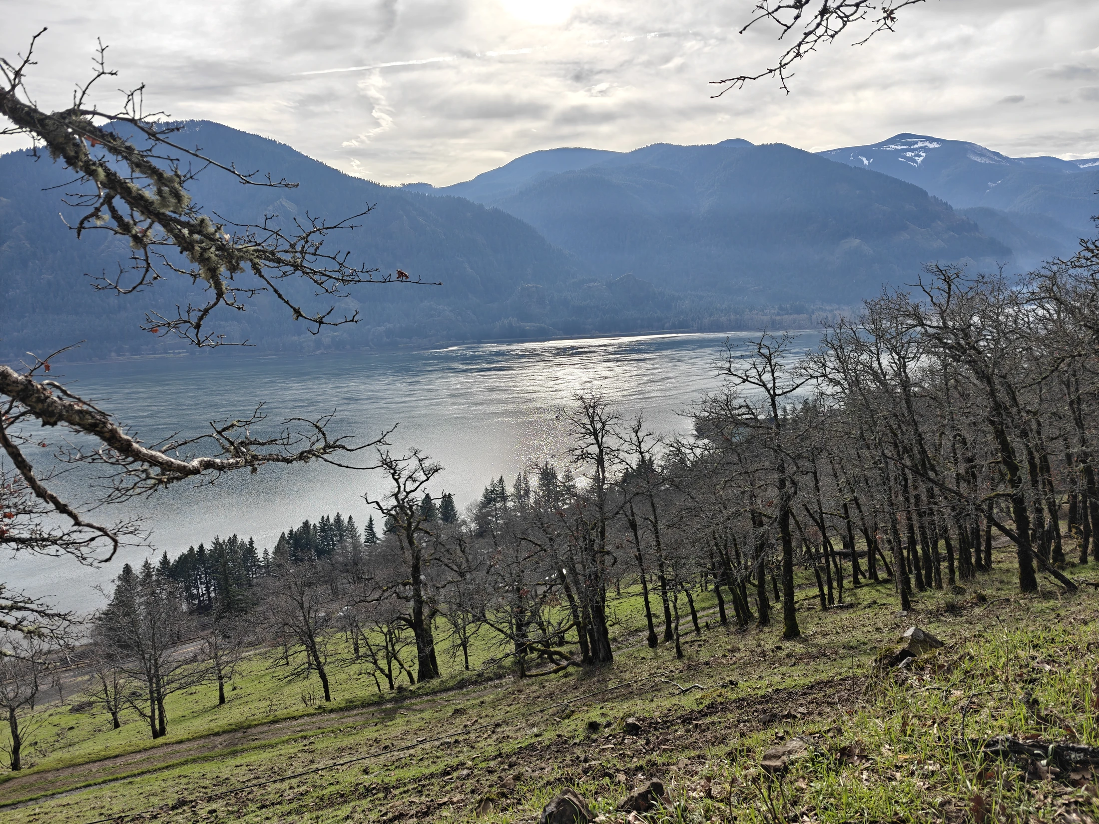
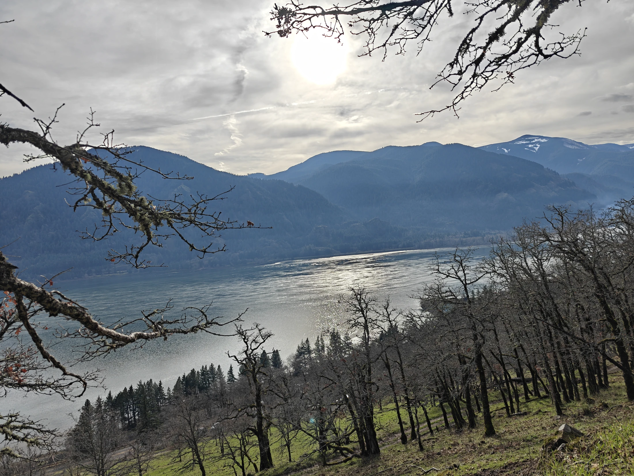
Right next to Dog Mountain on the Washington side of the Columbia River Gorge, just on the border of the Gifford Pinchot National Forest.
| Location | Cook Hill, WA |
| Date | 01/11/2026 |
| Team | Lance |
| Activity | Hiking |
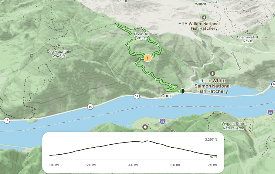
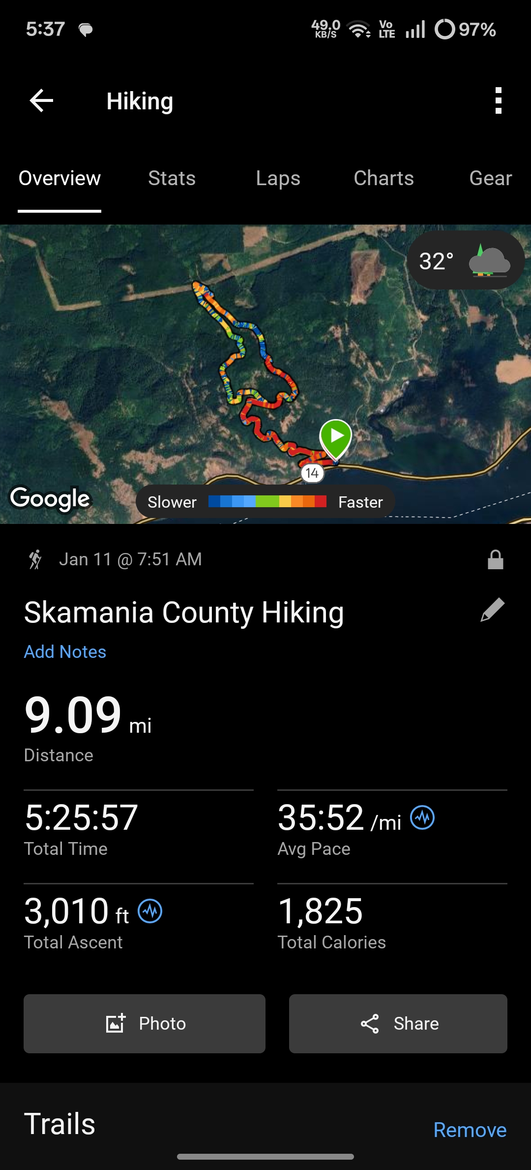
| Stats | 9.09 miles, 5:25 h:mm, 3,010 ft ascent, 1800 calories |
| Conditions | Sunny with a few early clouds, snow covered areas |
Map
Garmin
Story
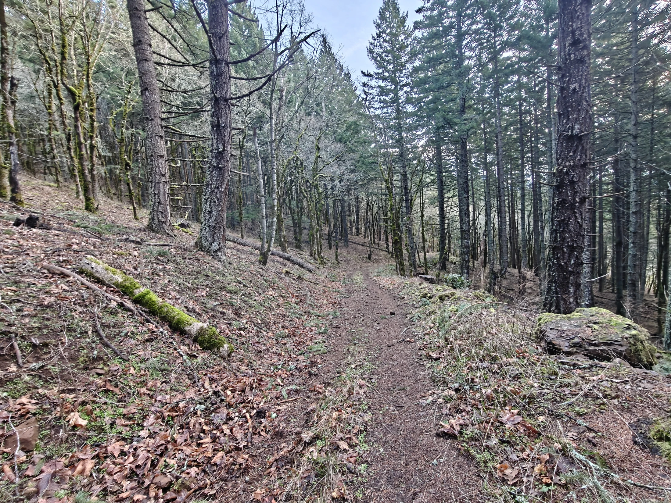
Around a mile in or so, the trail splits - left is clockwise and right is counterclockwise loop. I went clockwise.
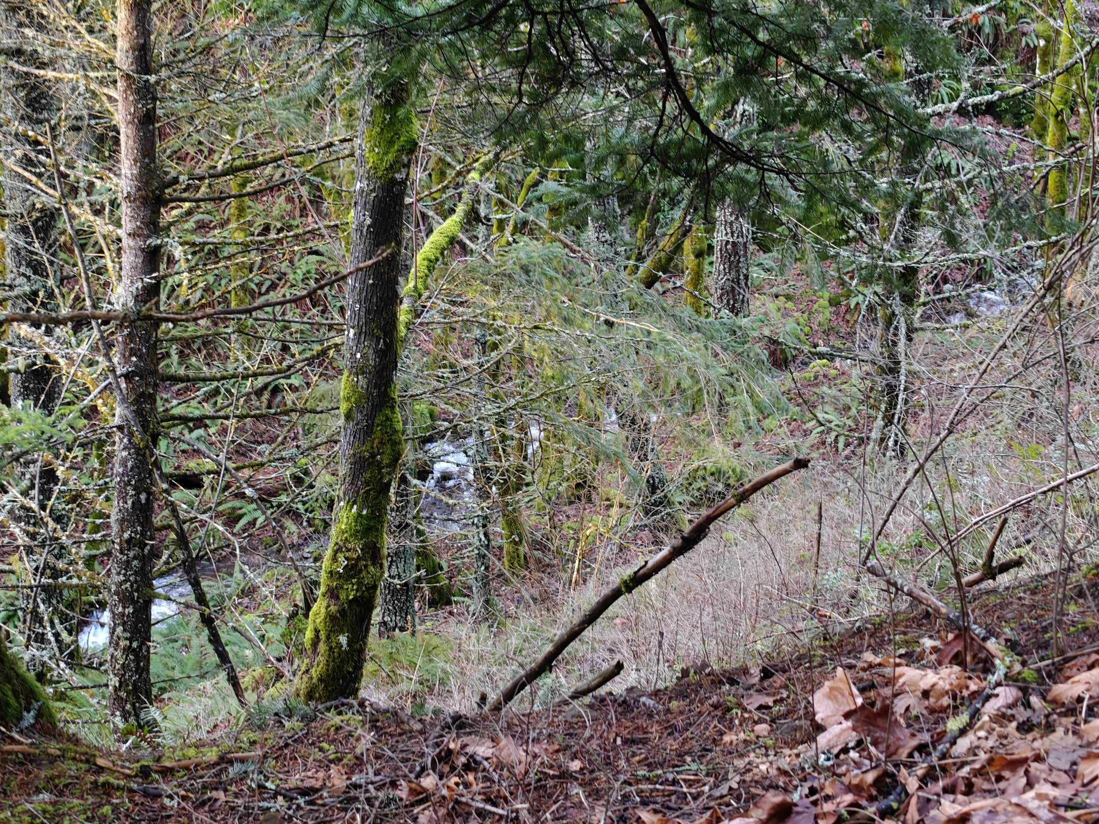
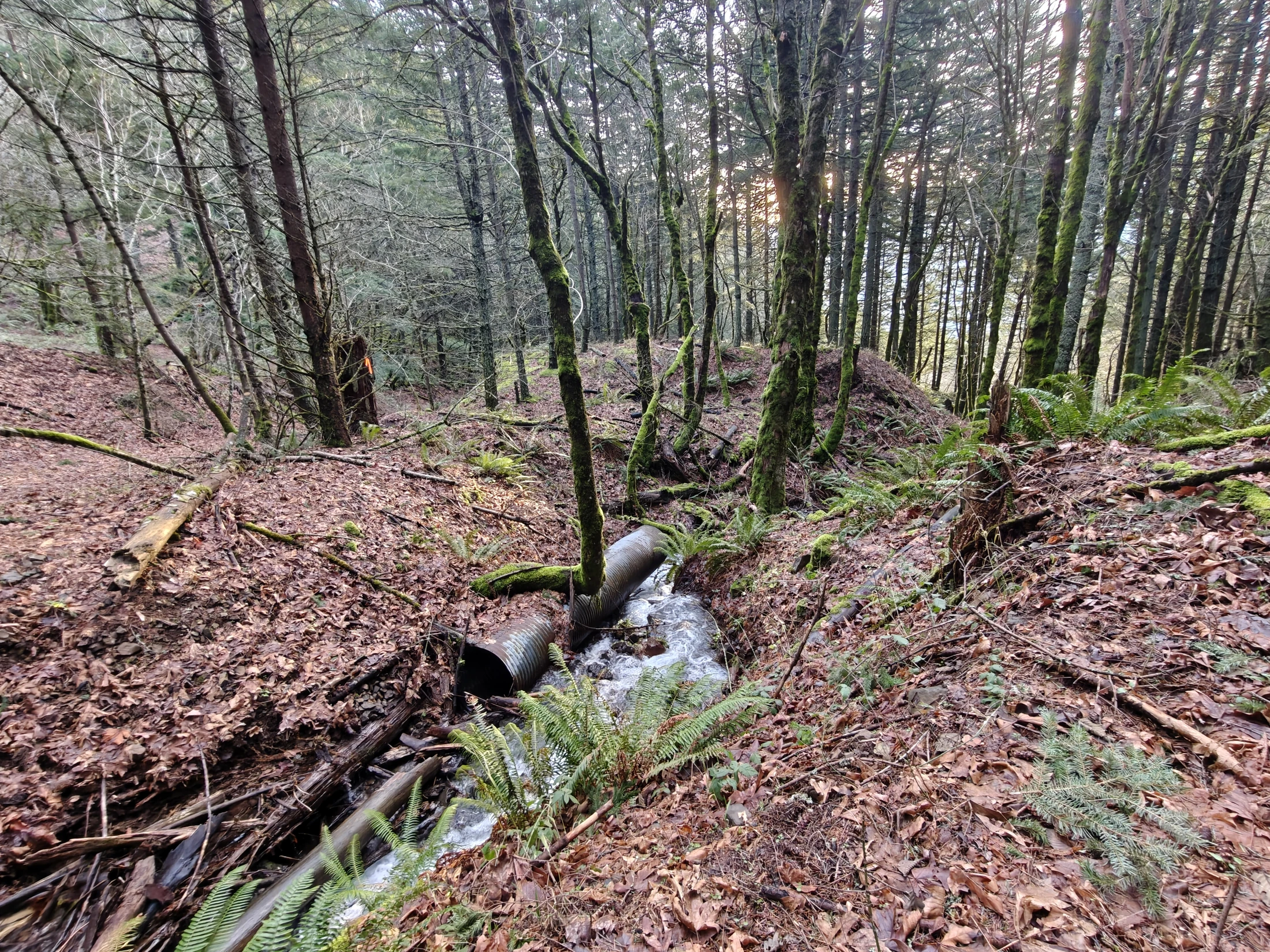
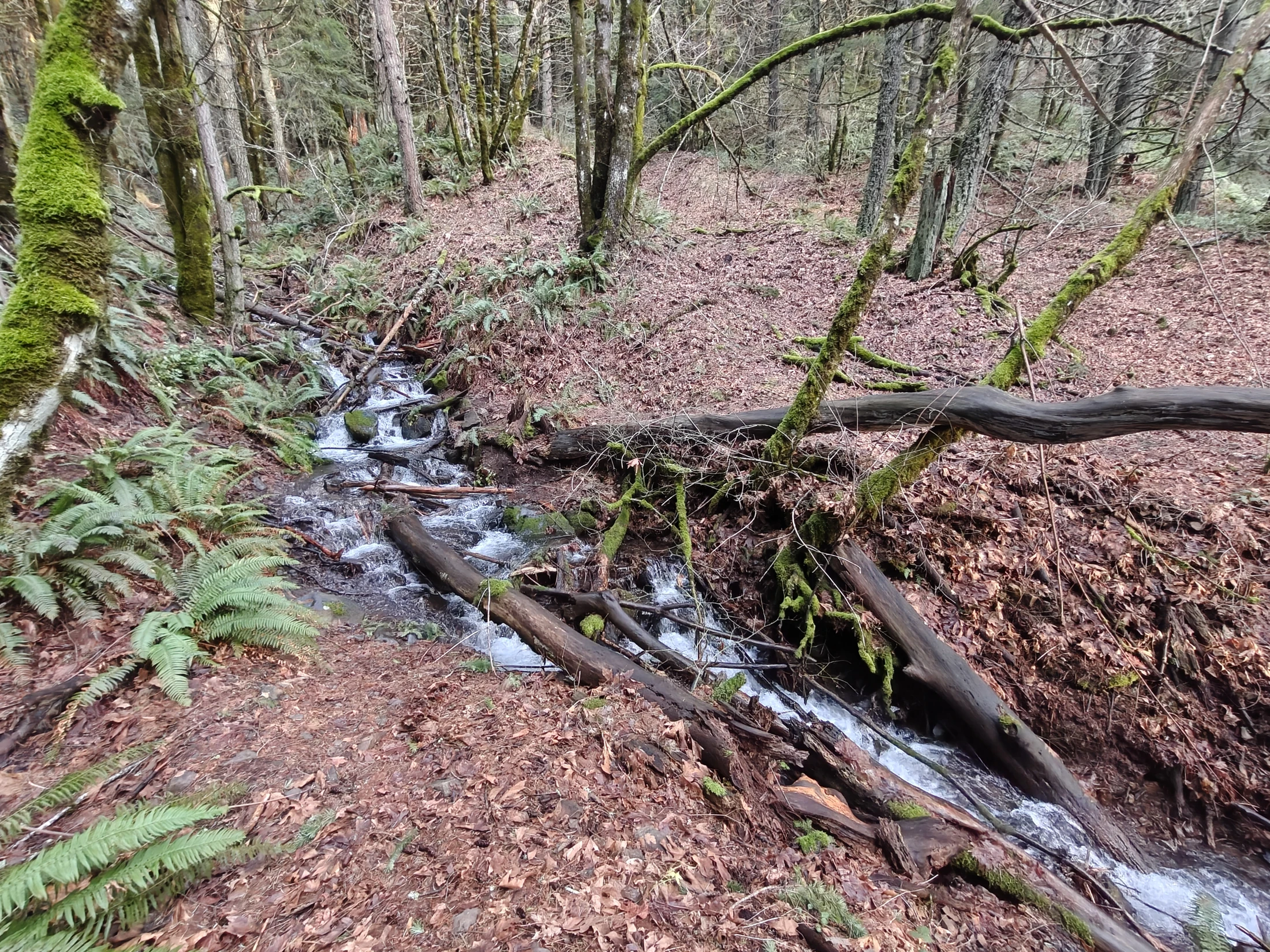
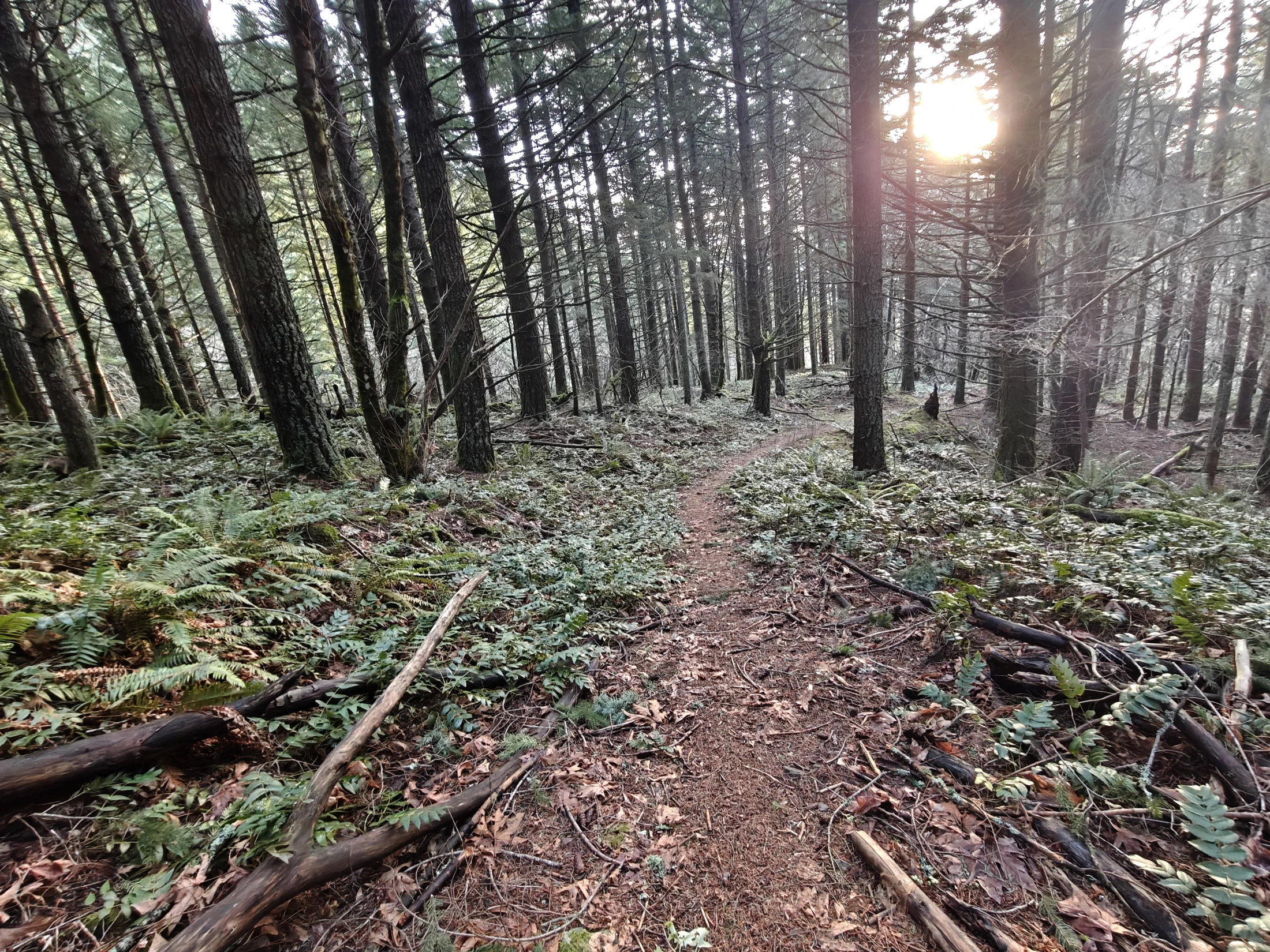
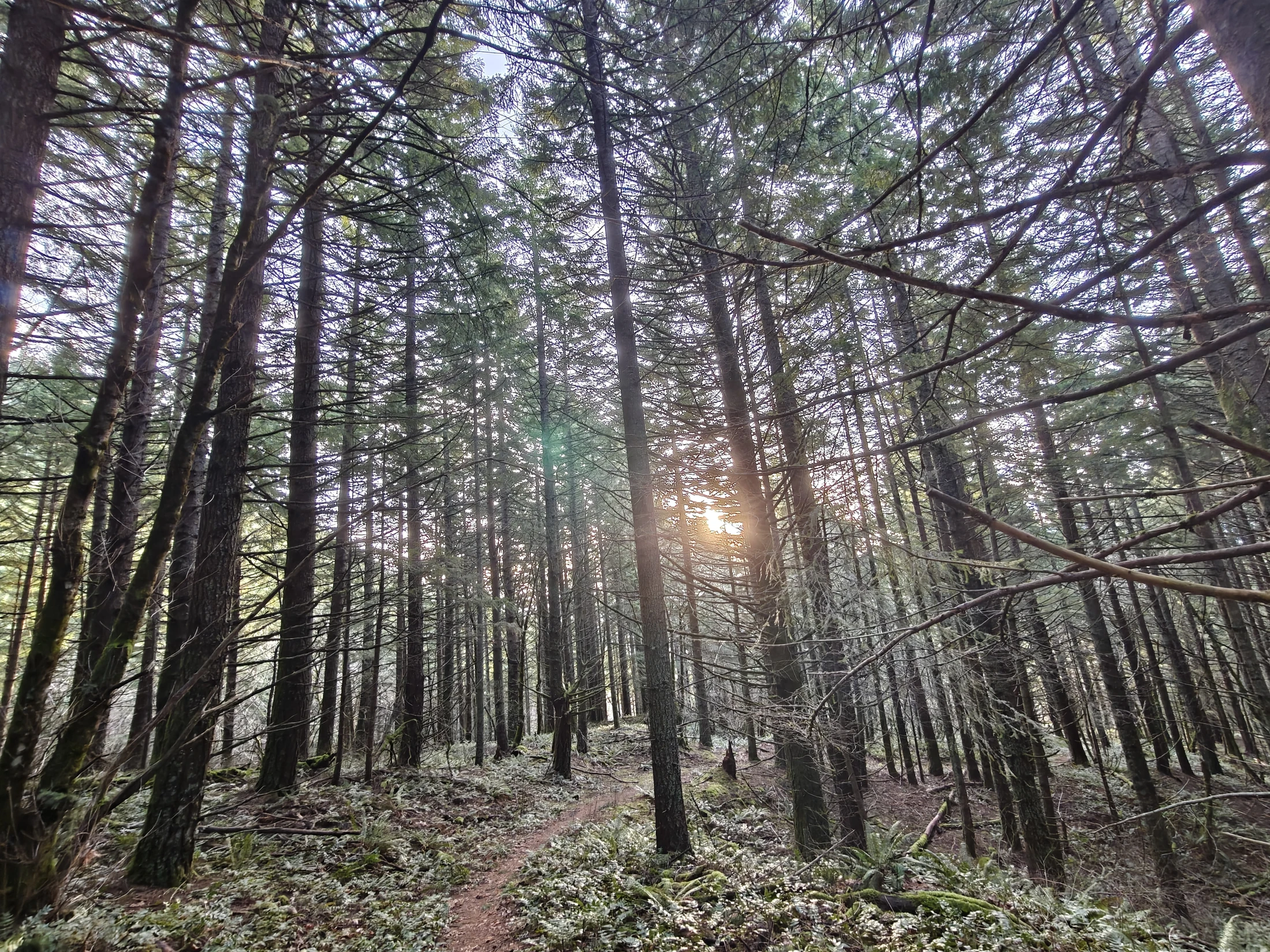
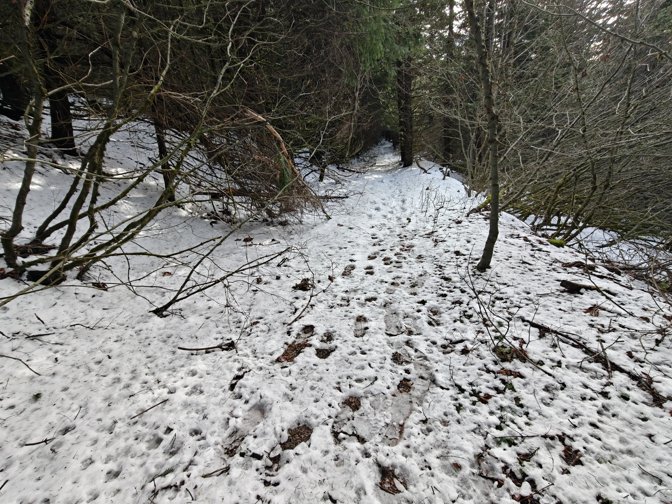
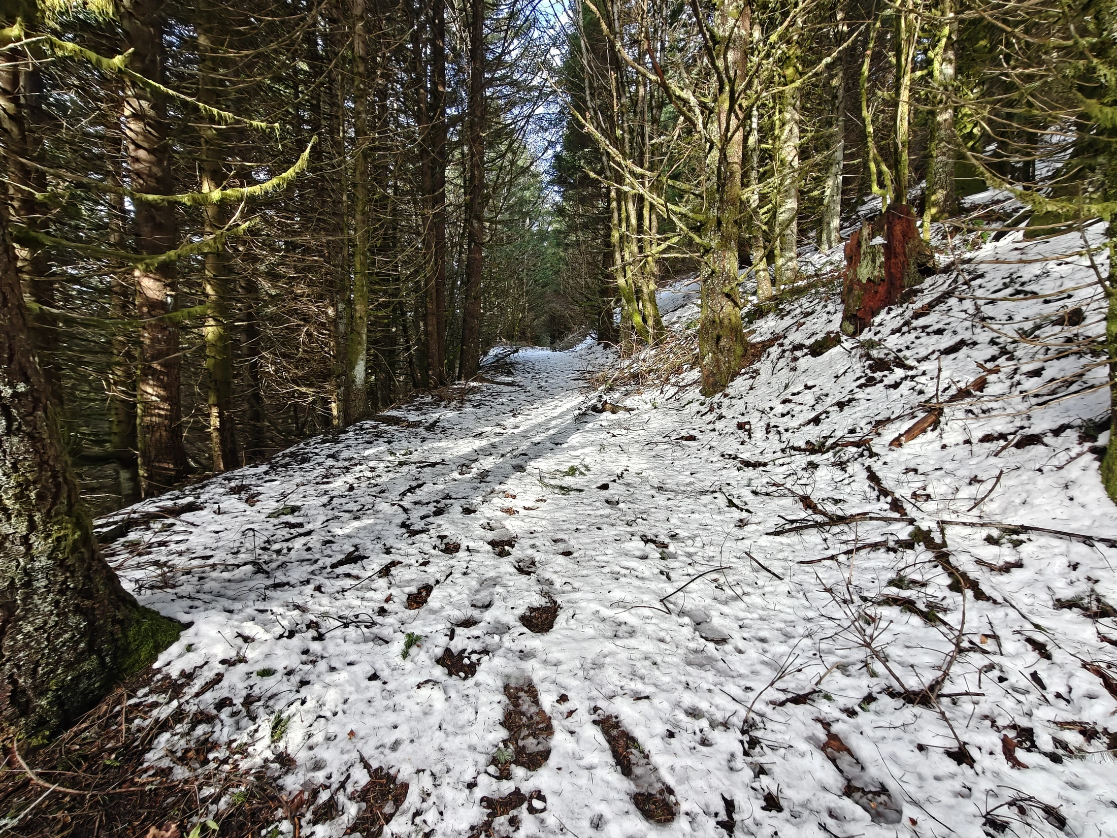
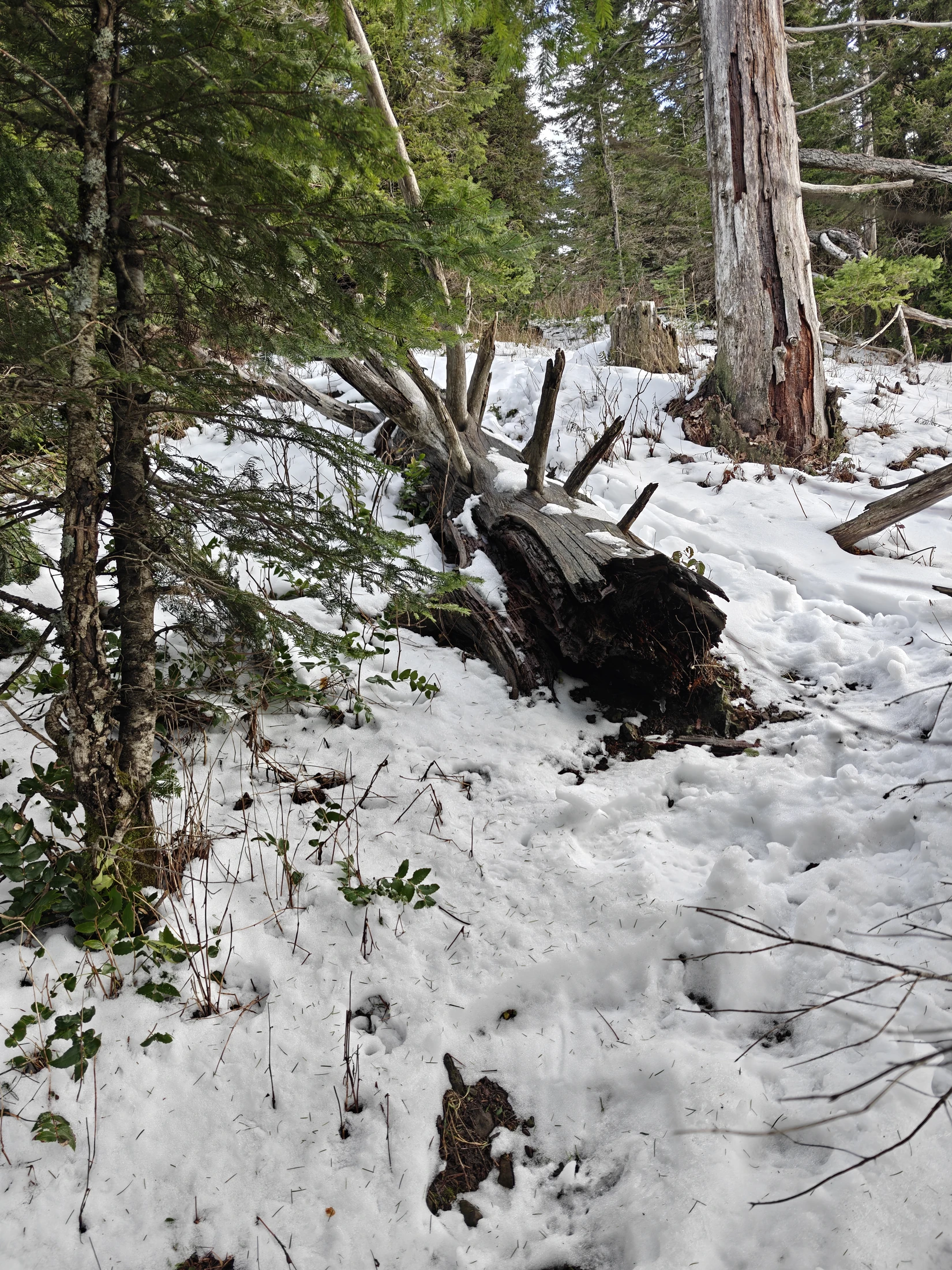
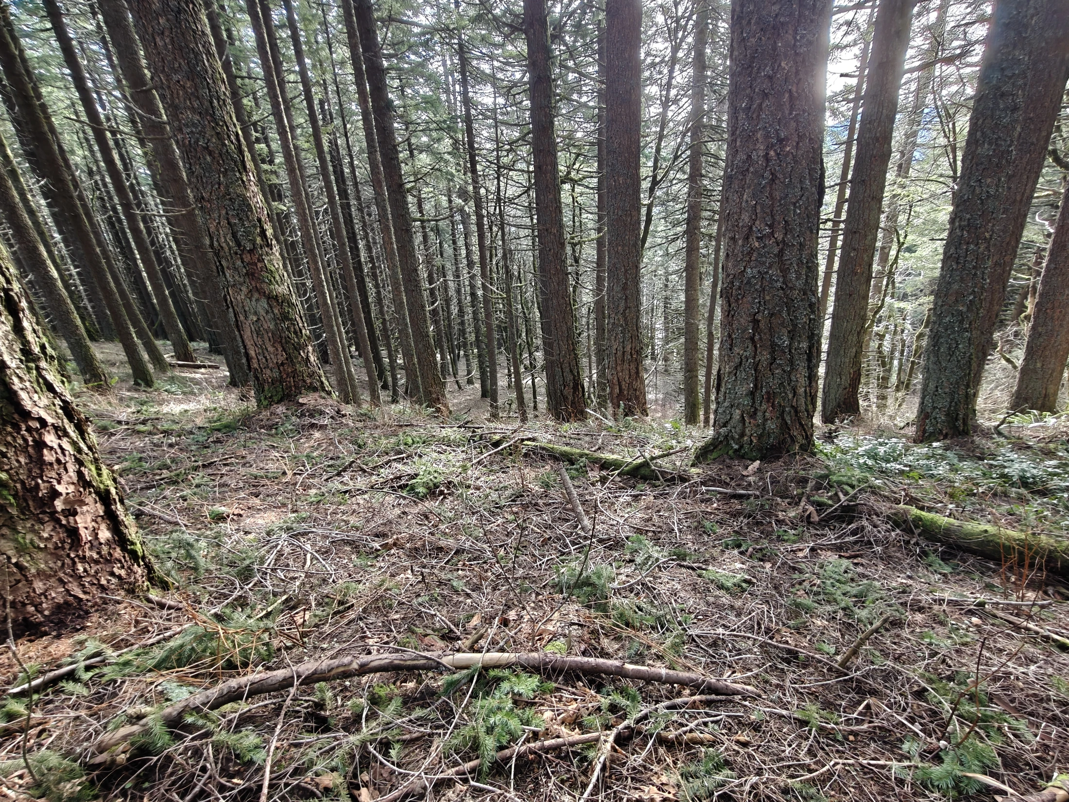
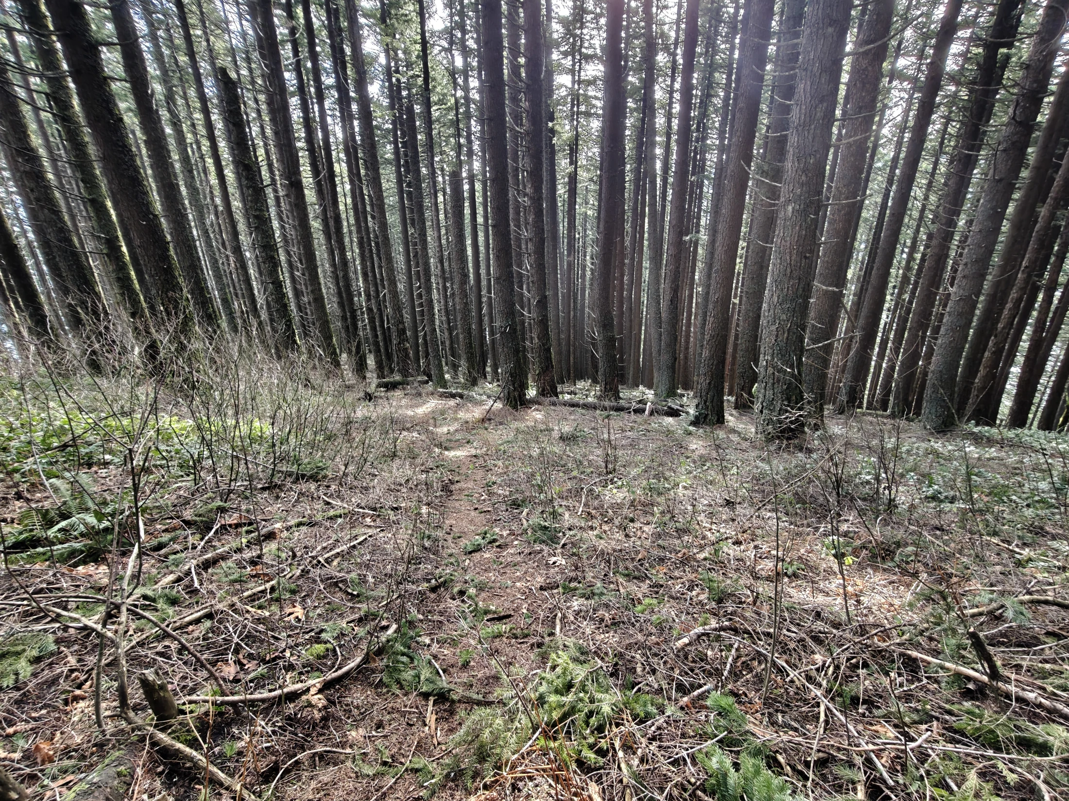
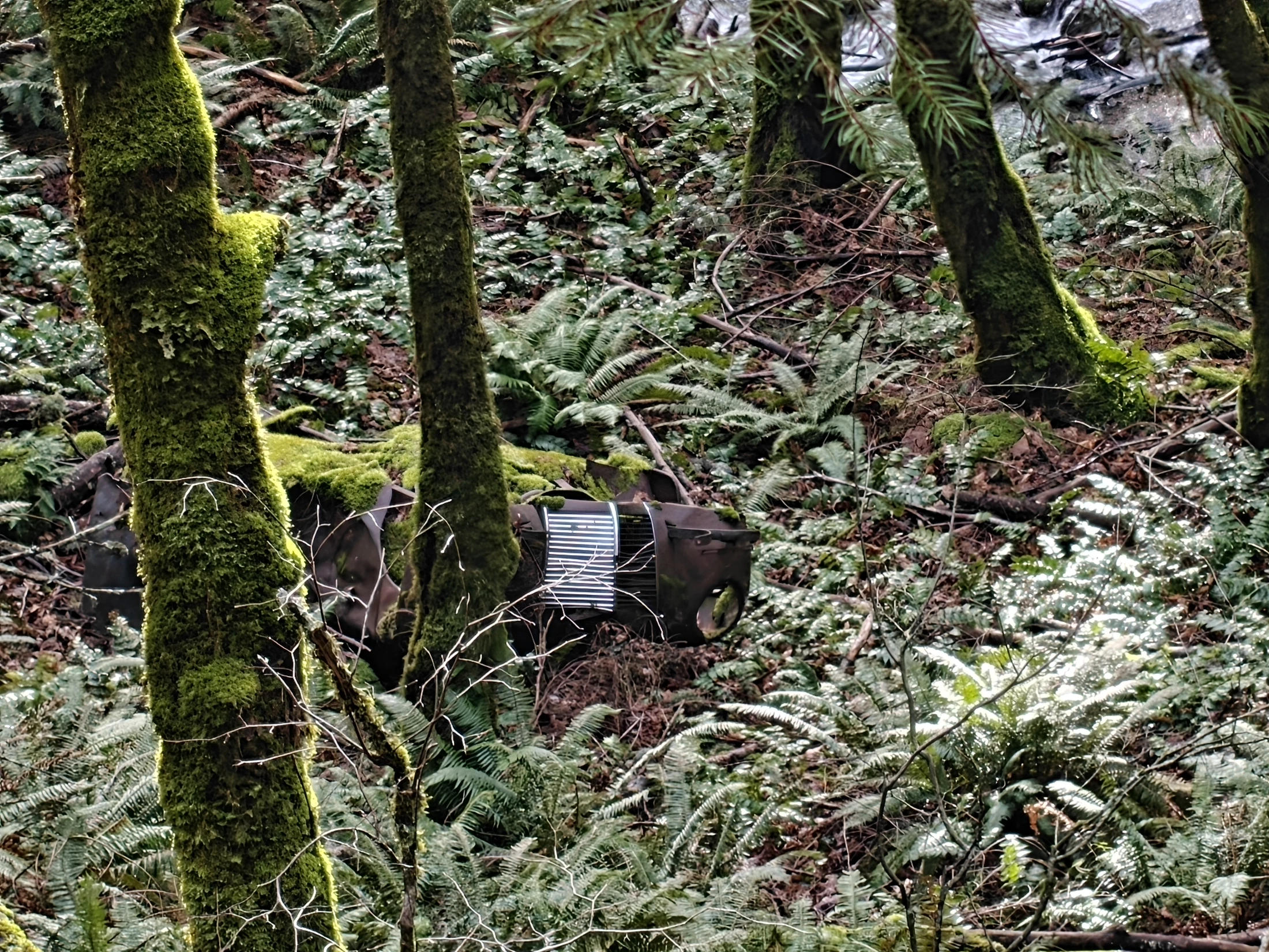
Getting up to the top was fairly easy... a lot of uphill, but not too bad. No ledges, snow was fairly light. A couple of creeks to leap across and a few logs to climb over or under.
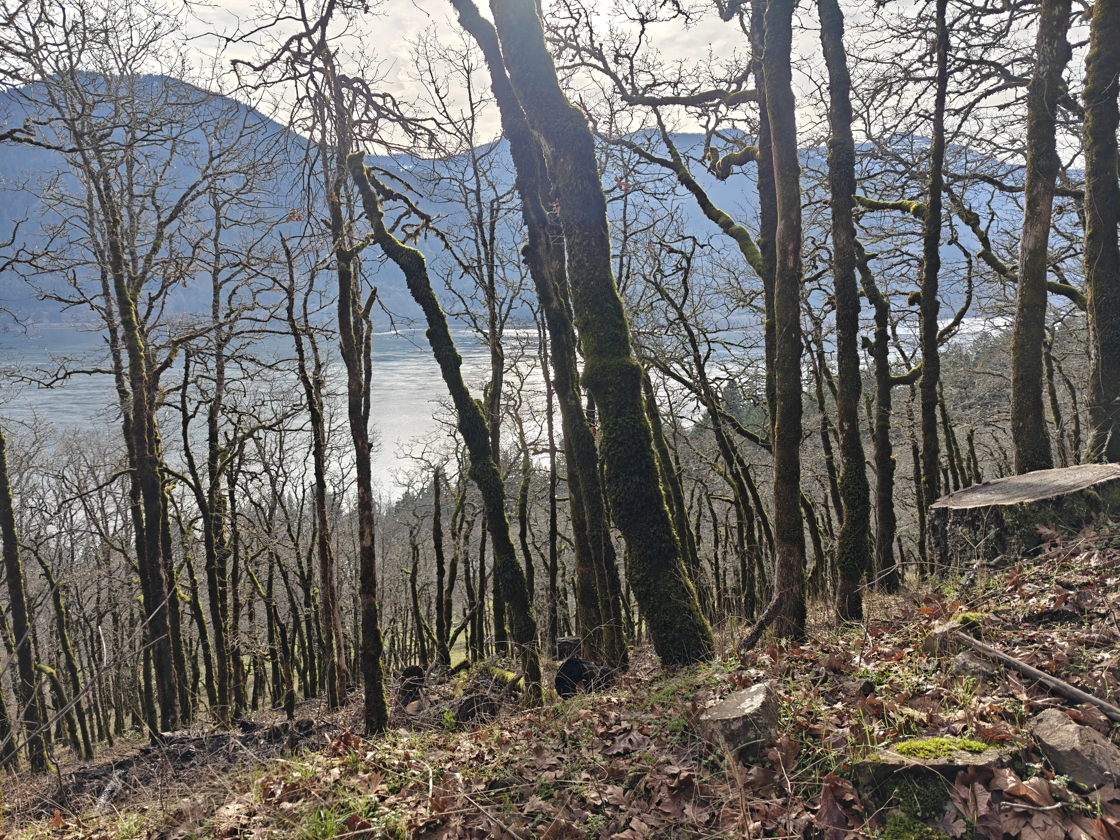
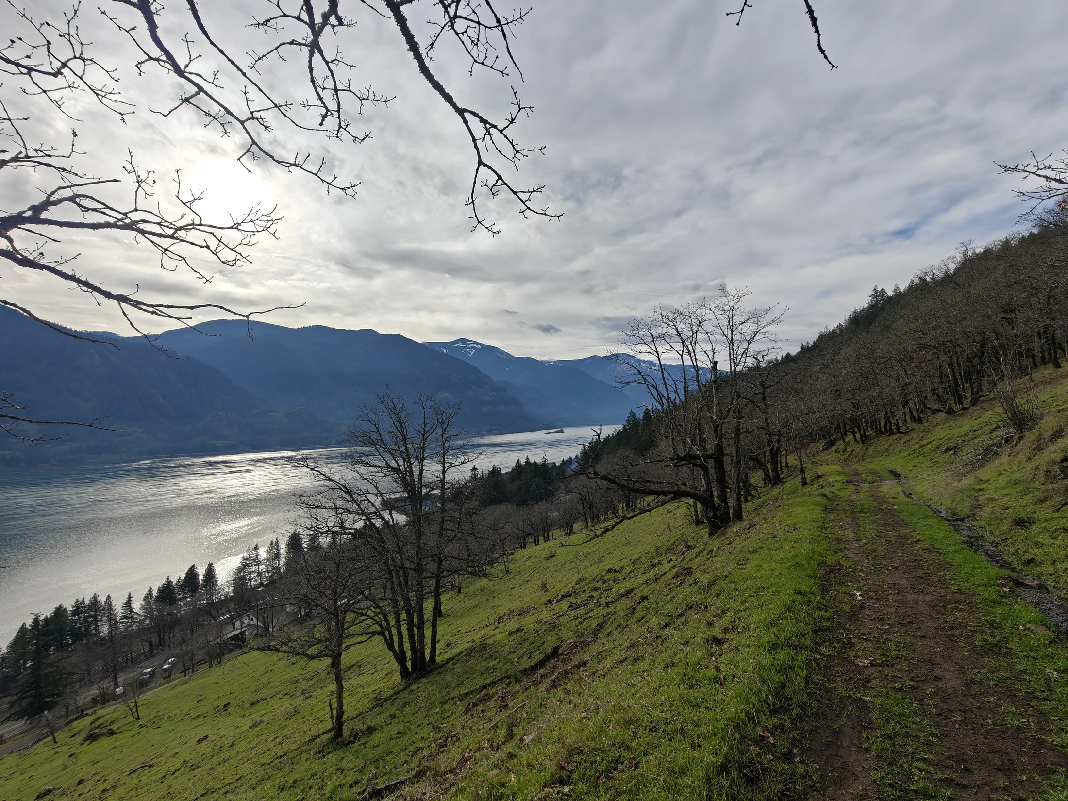
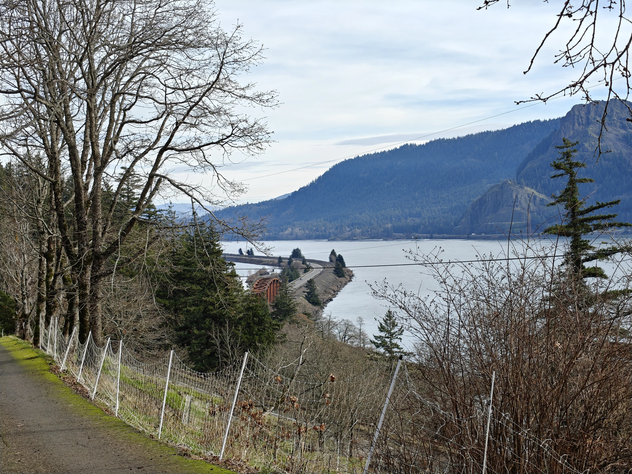
You start off on a road between farmhouses... in fact the first mile or so of the hike is around the farms in a thinly tree'd forest.
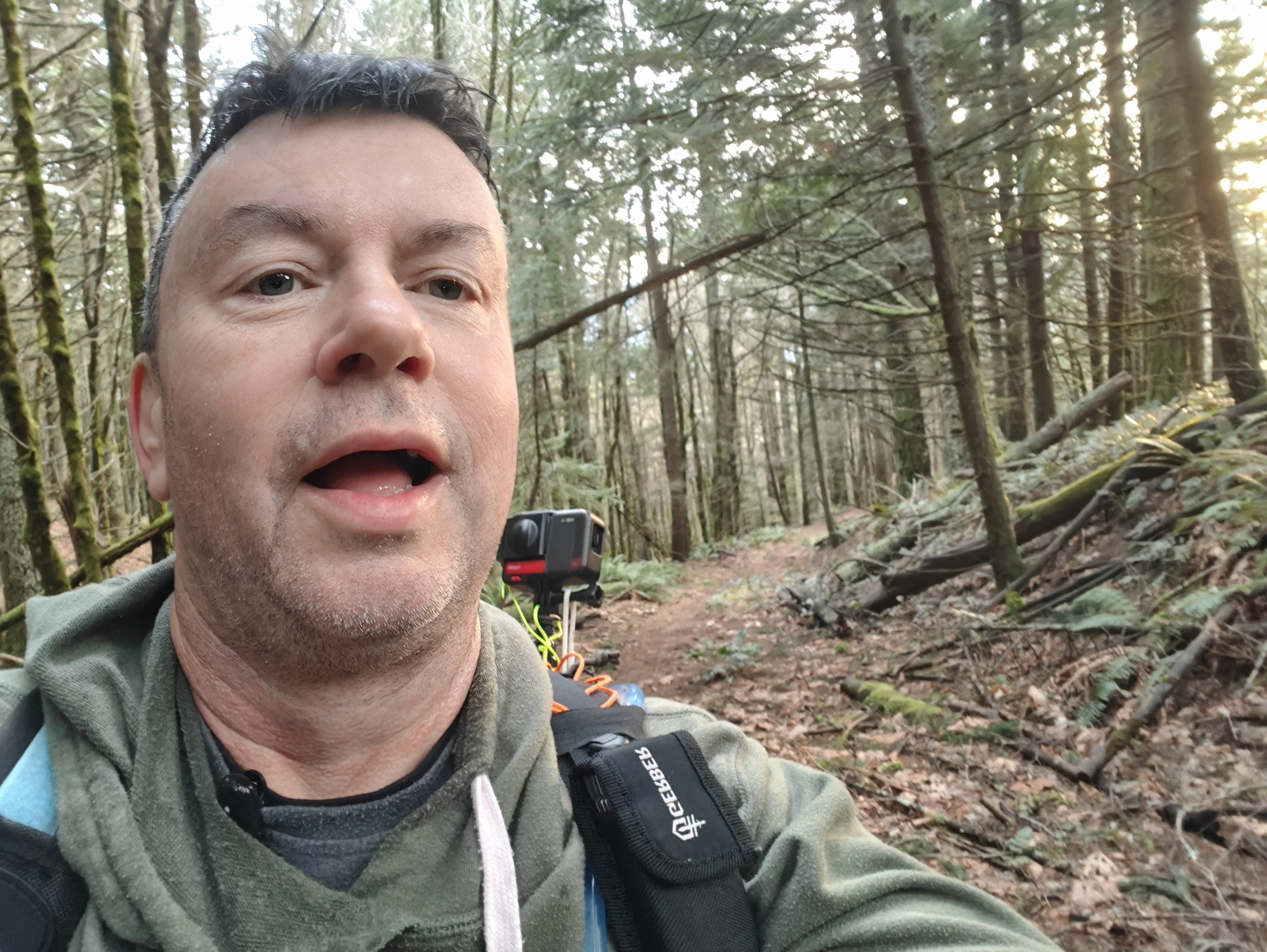
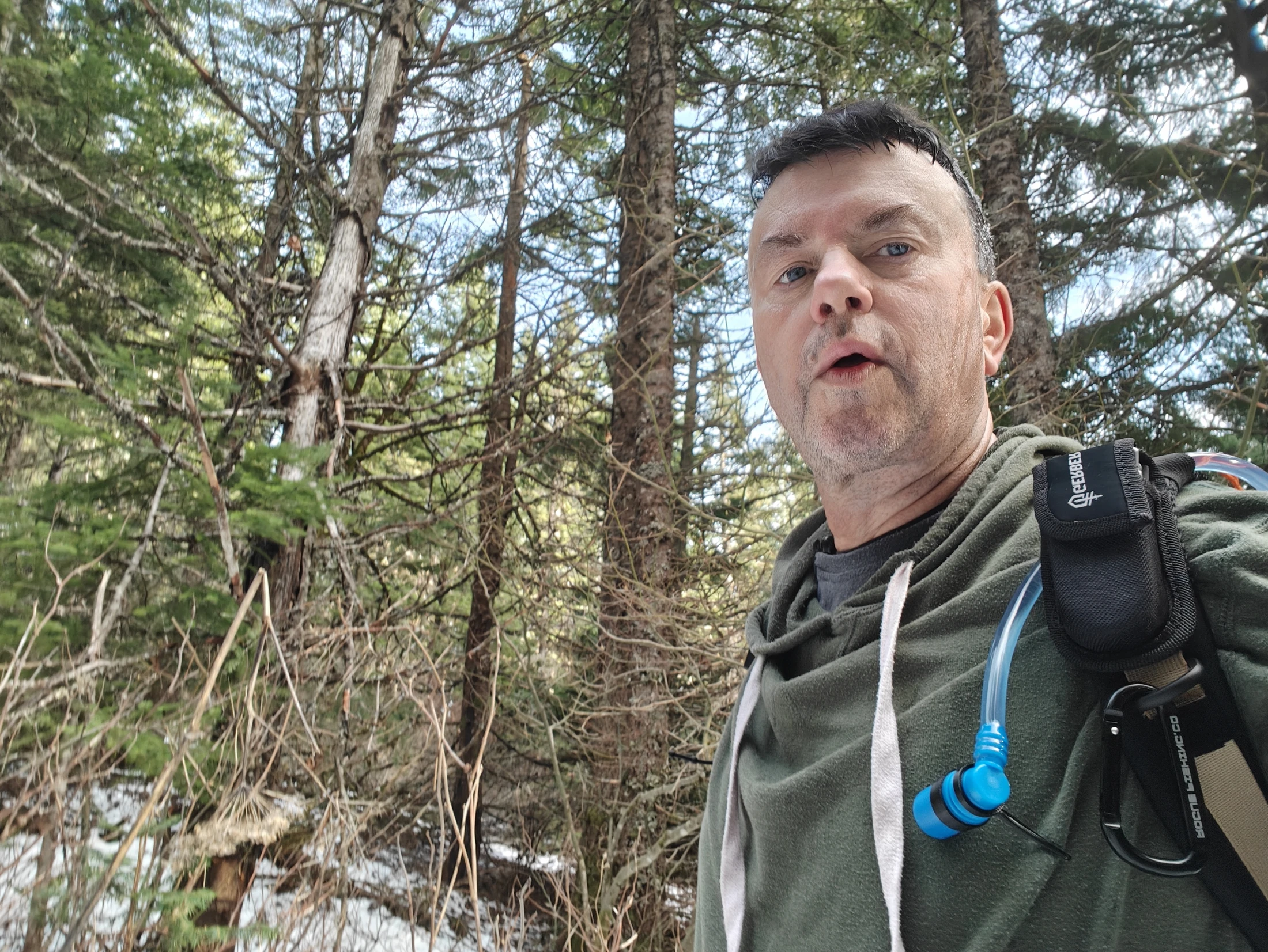
I took some drone selfies on the trip.
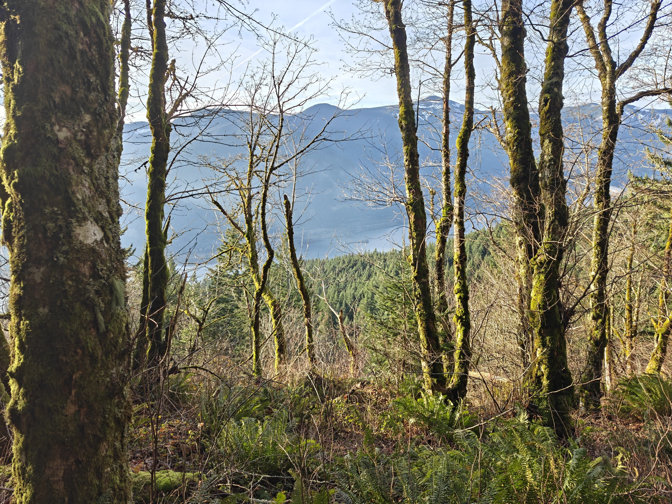
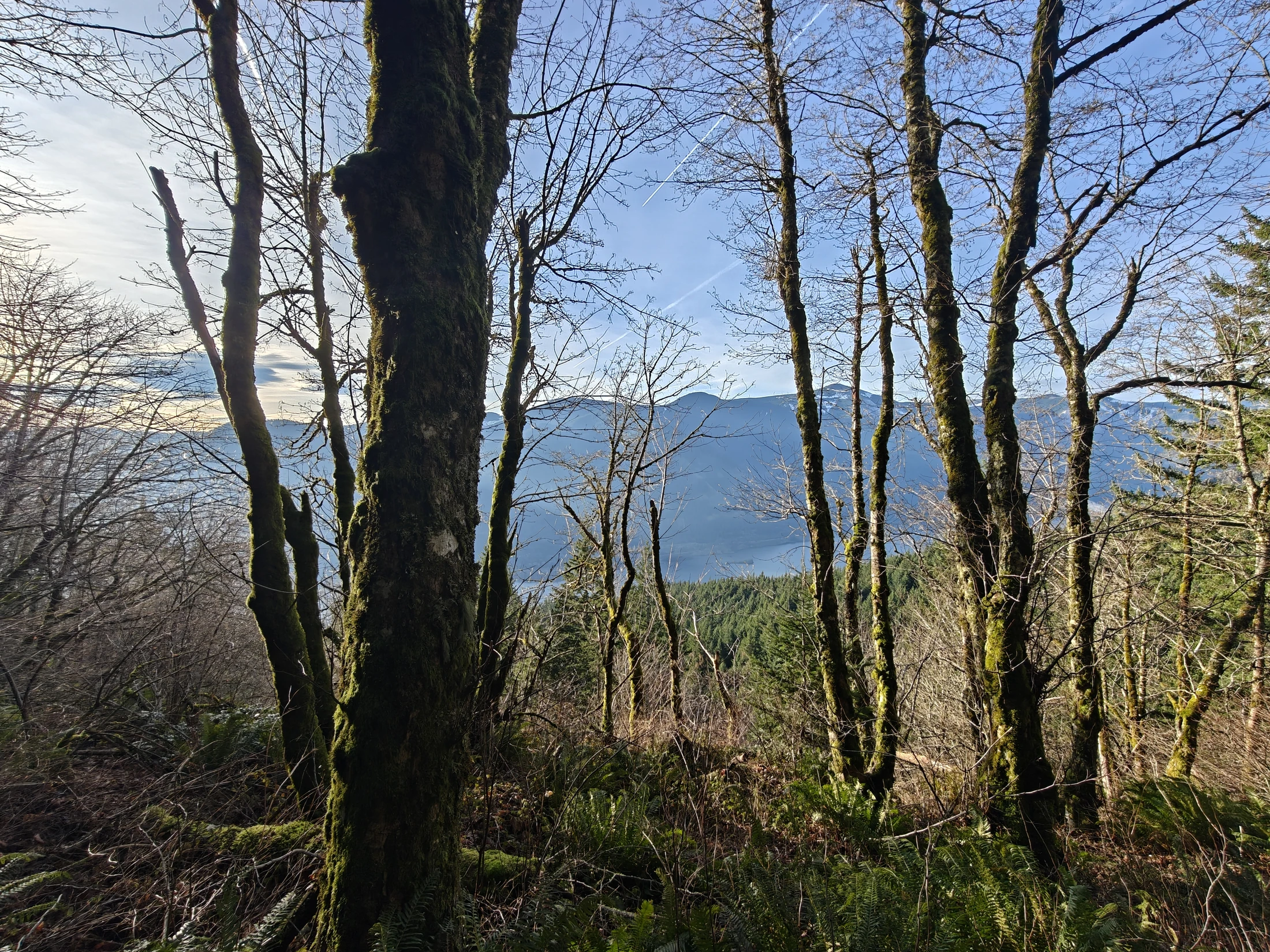
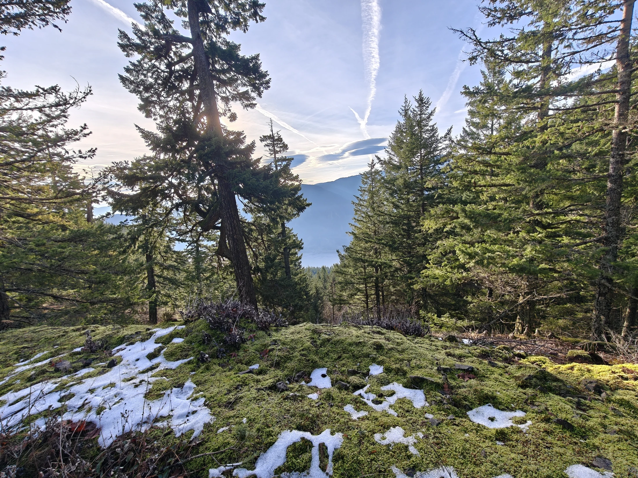
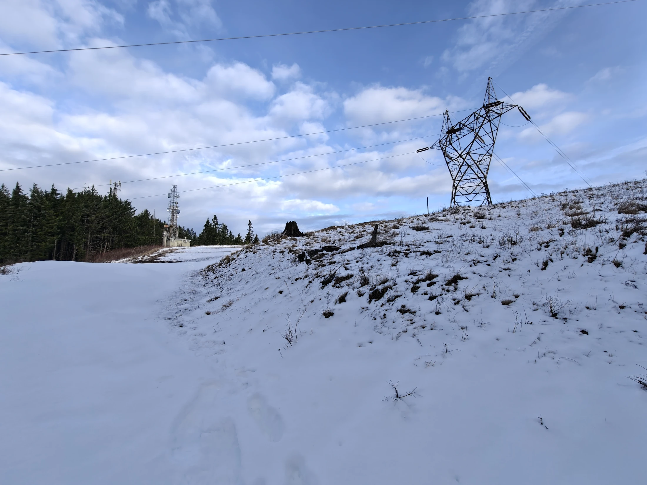
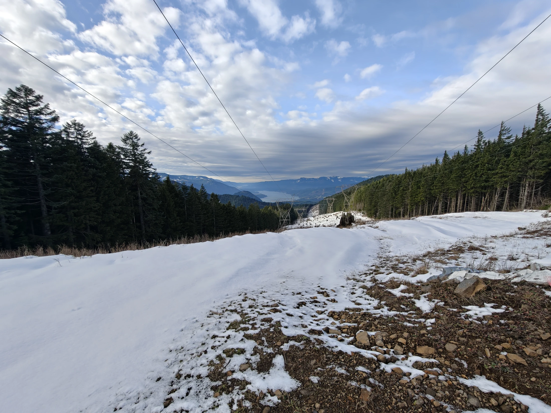
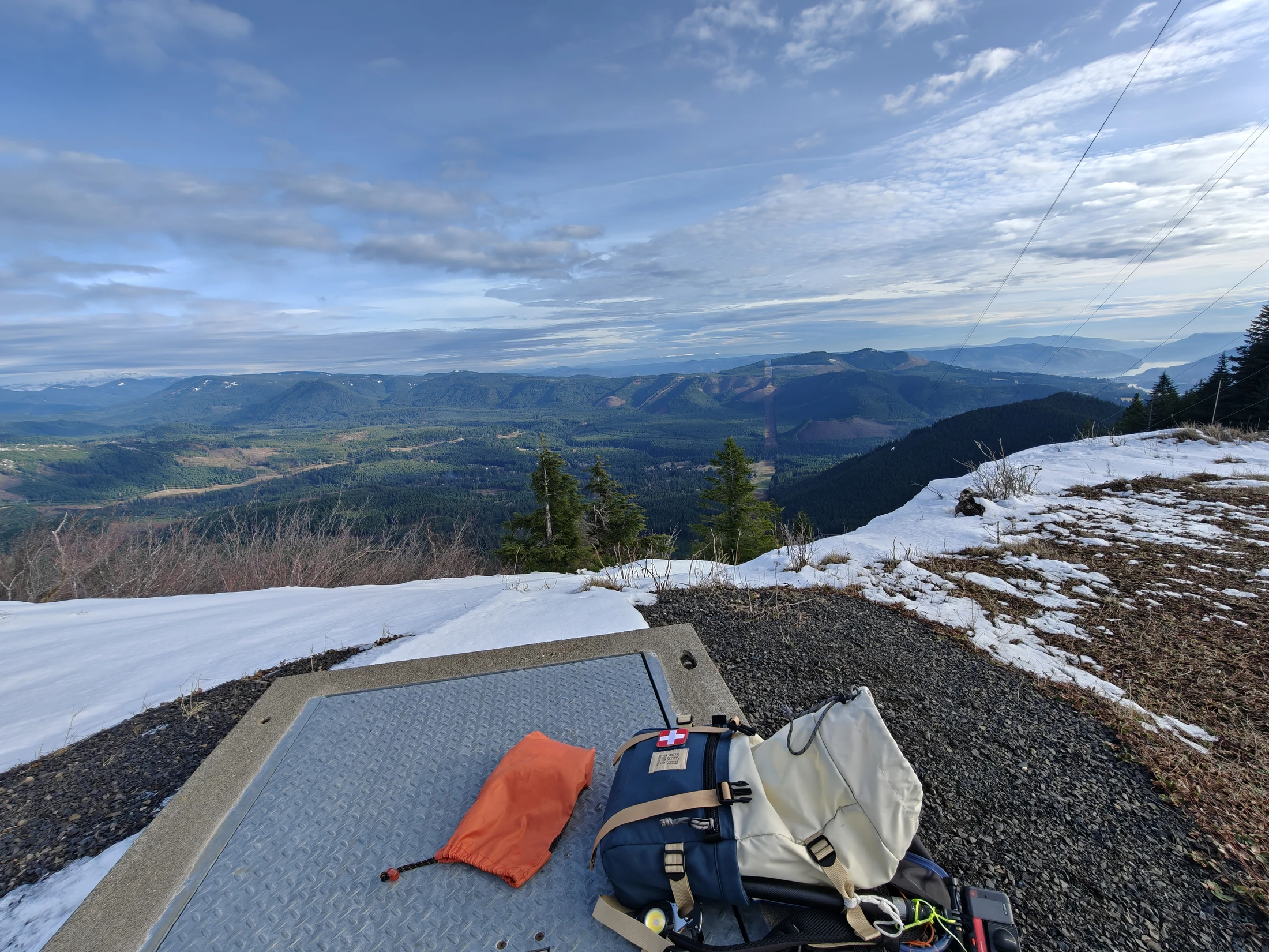
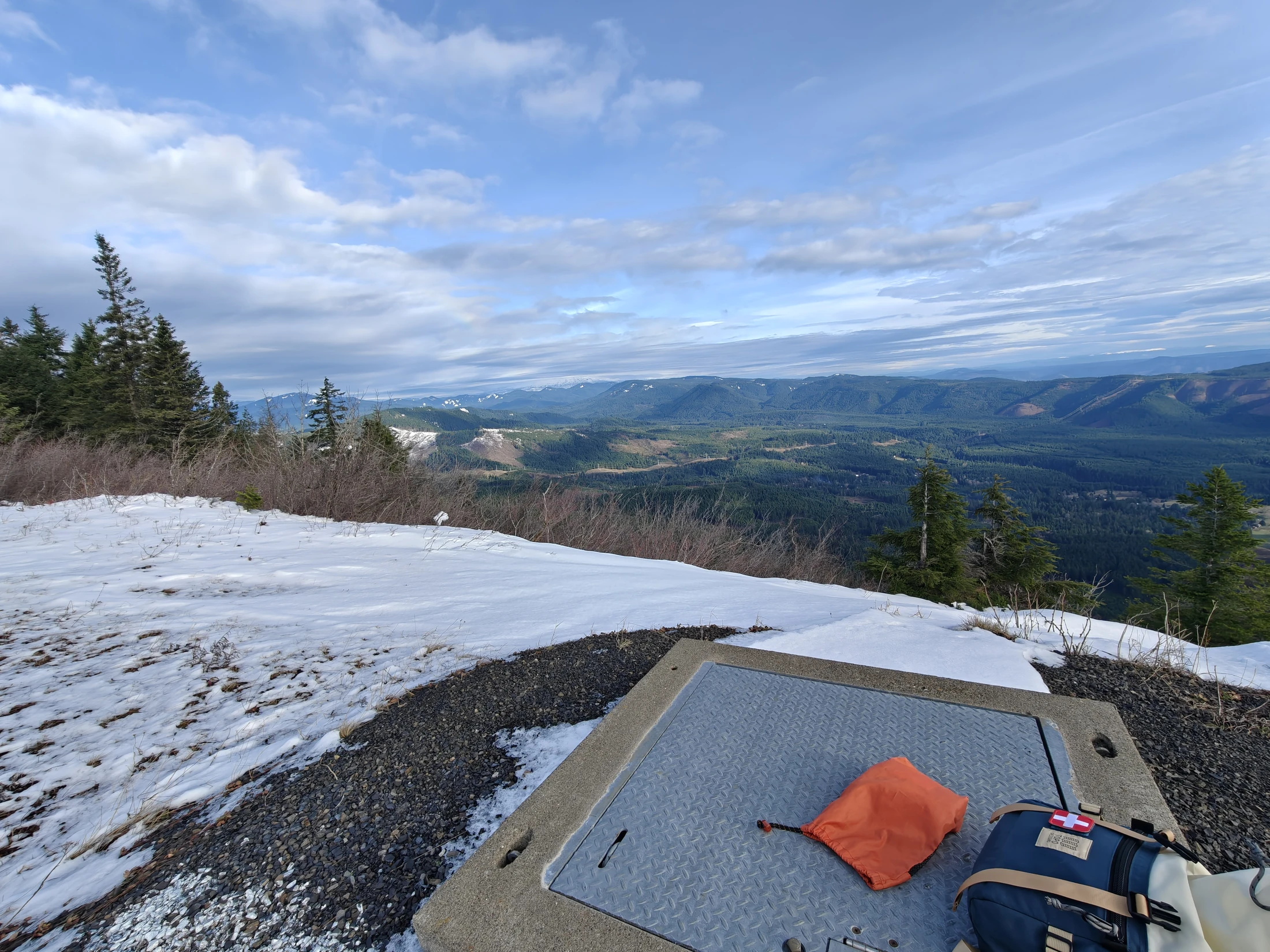
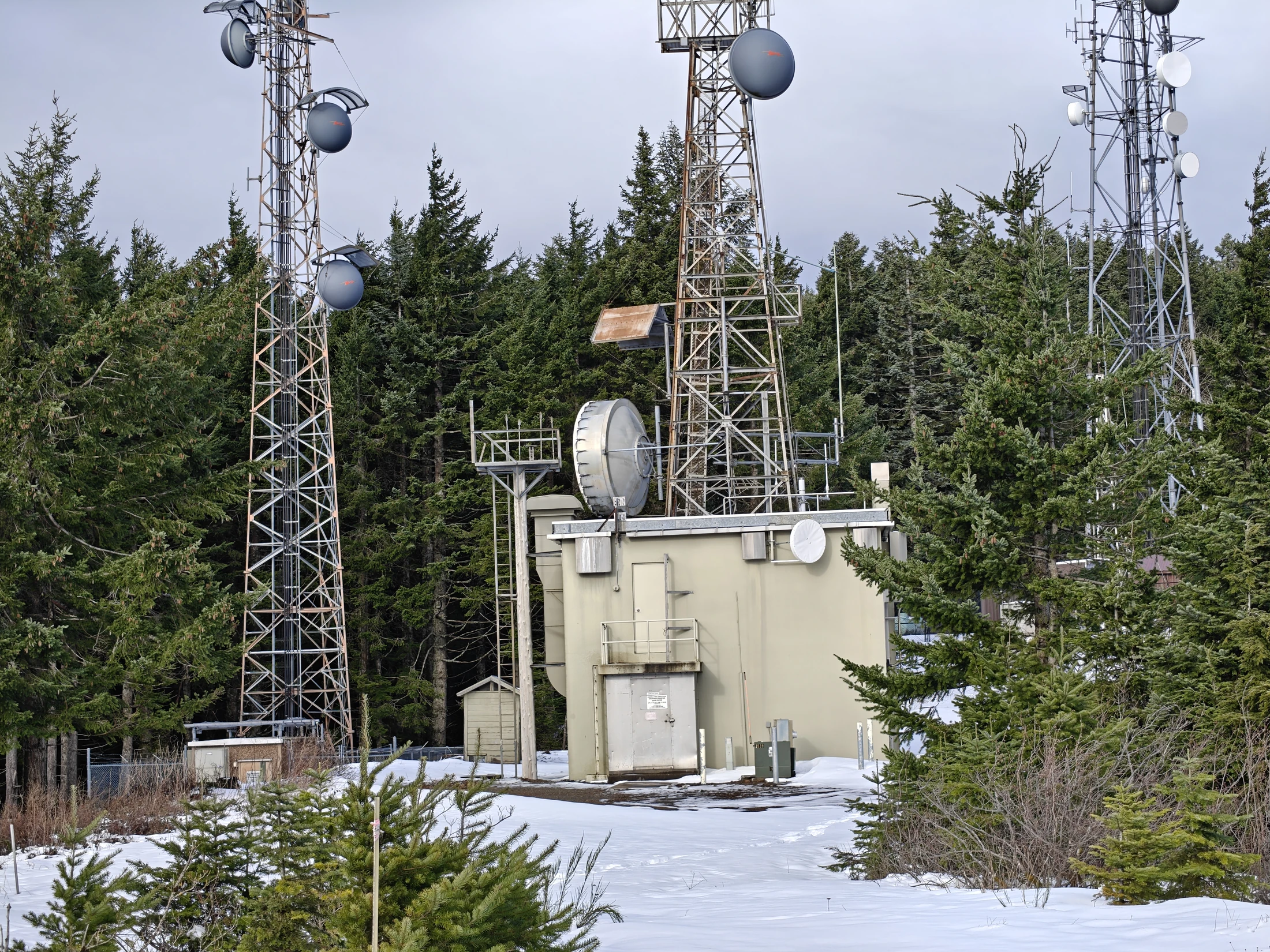
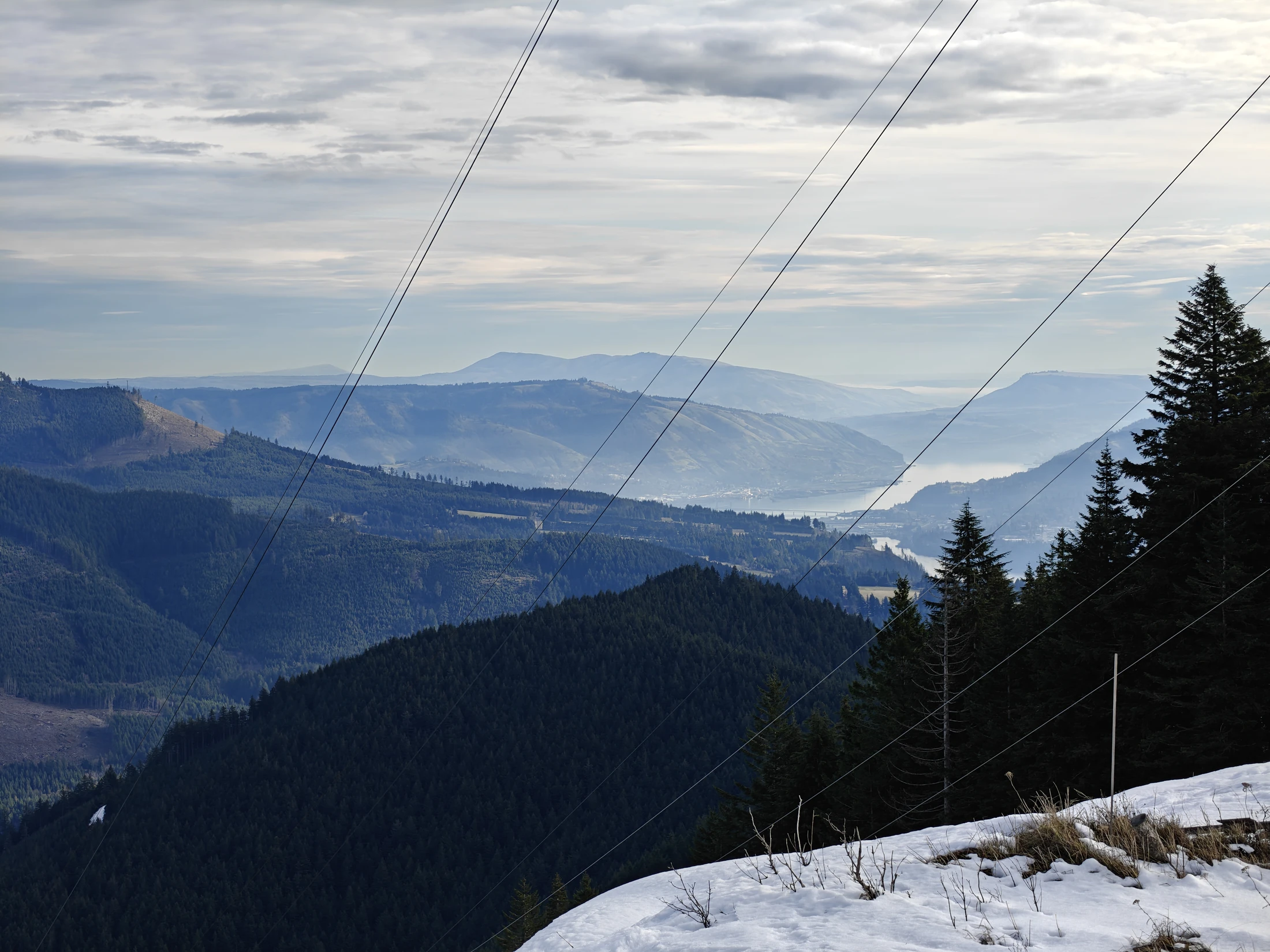
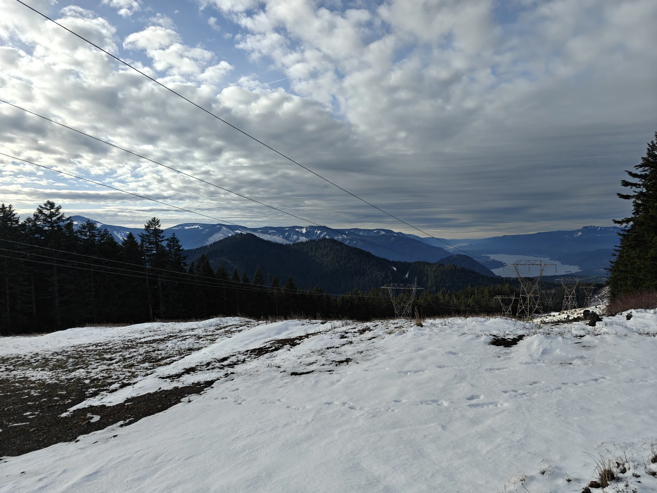
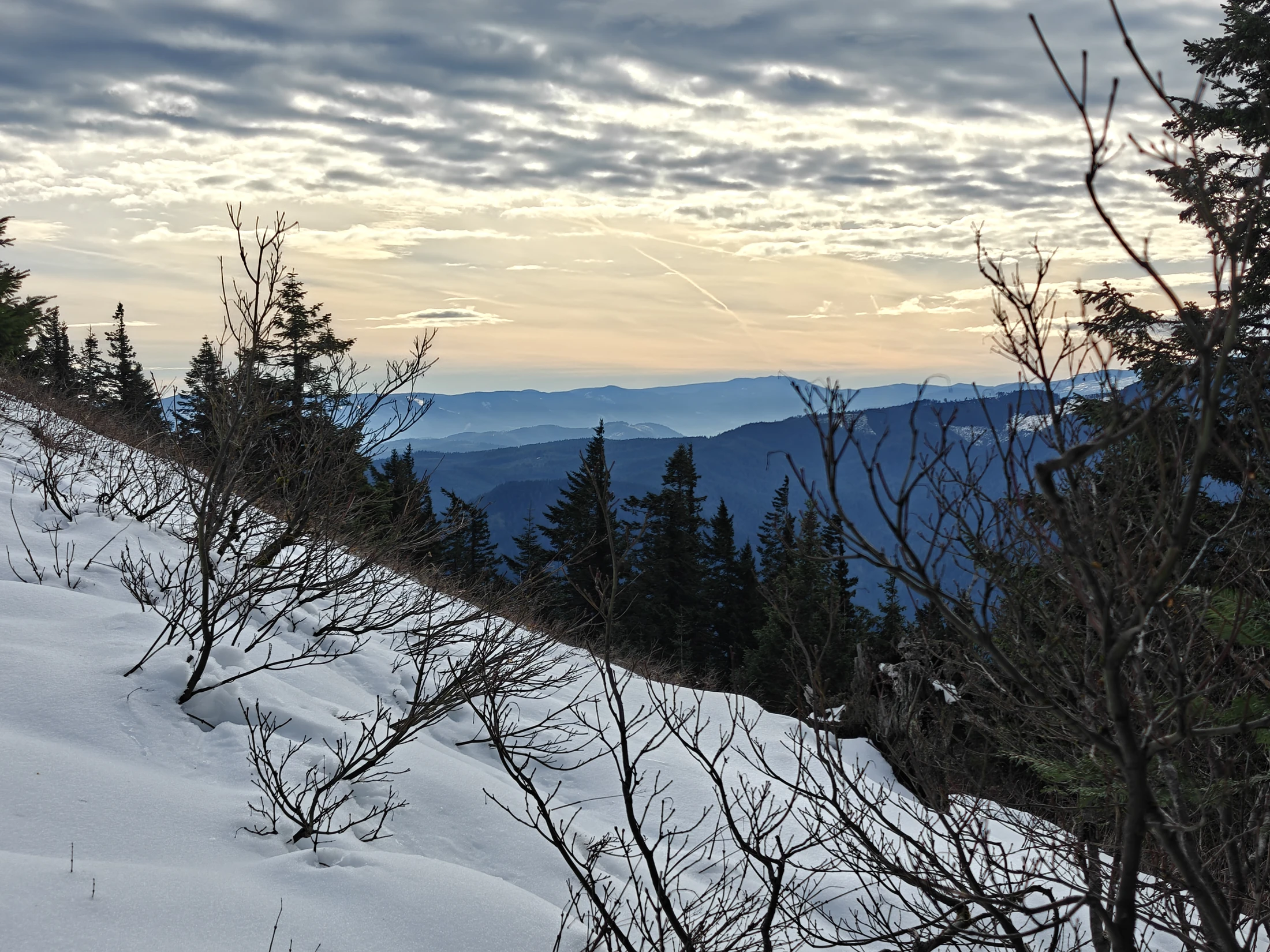
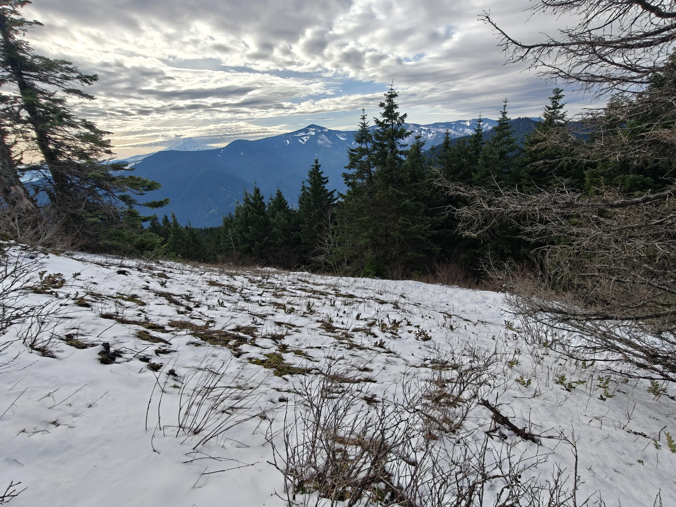
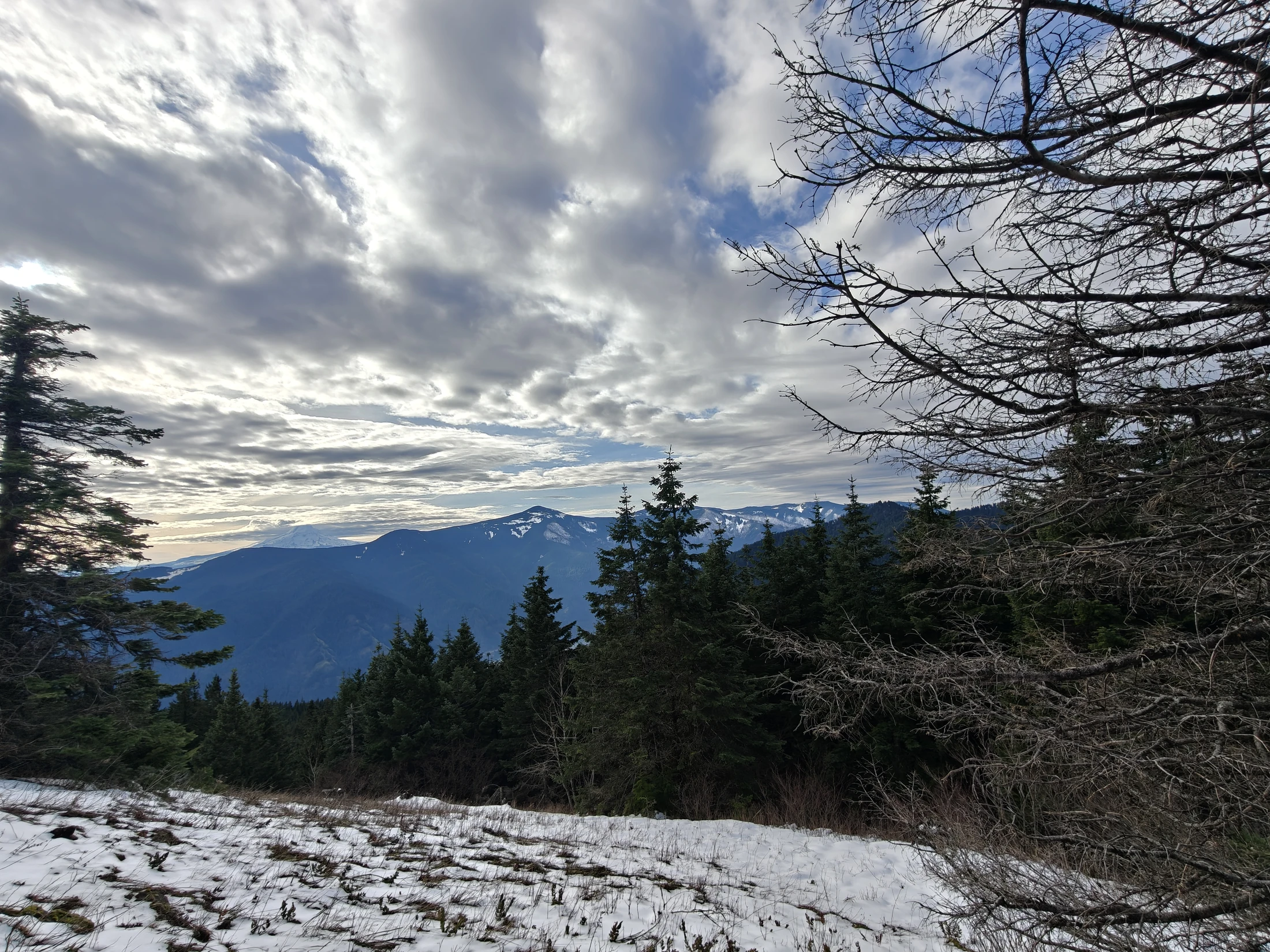
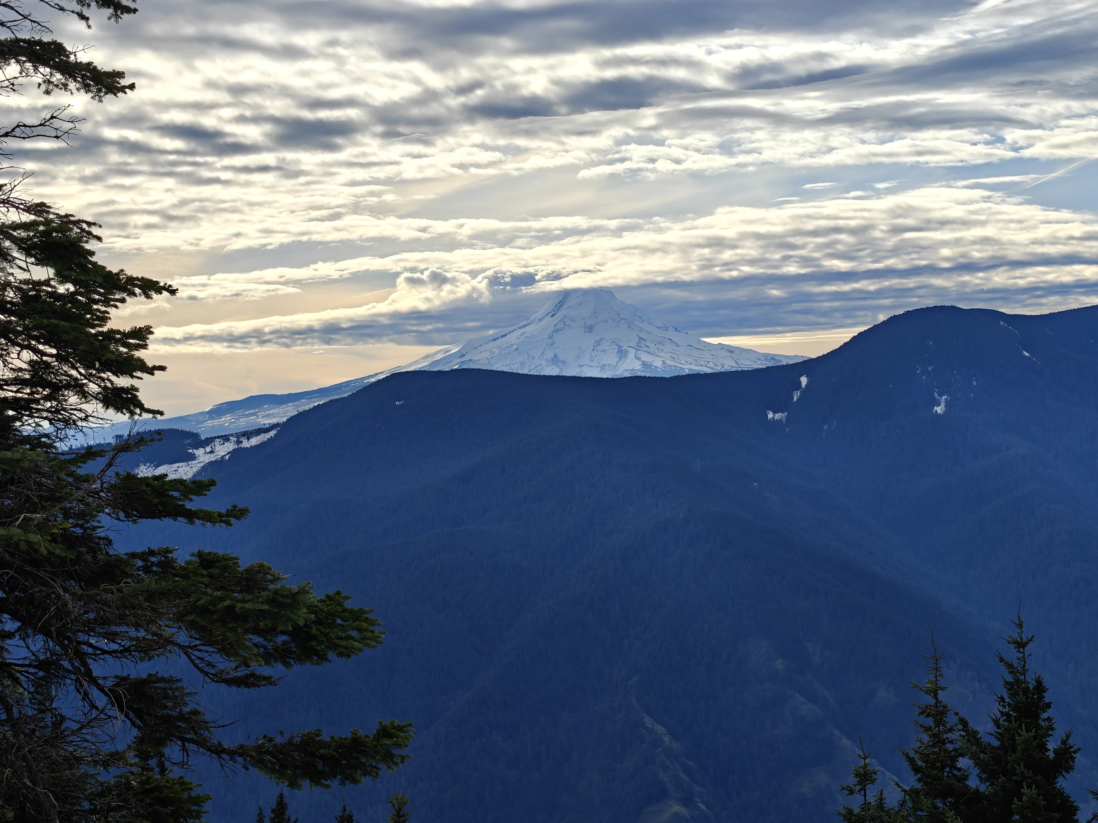
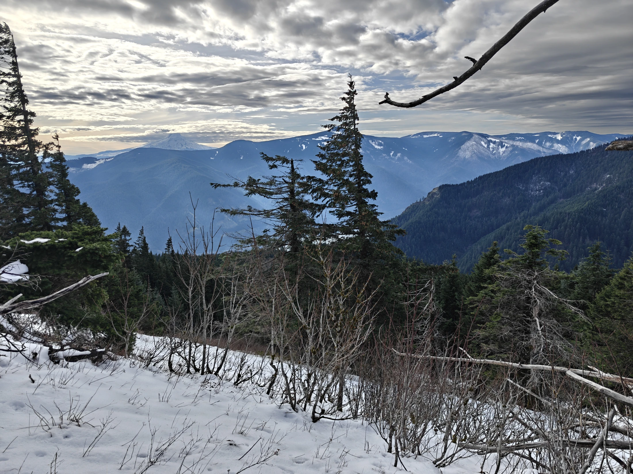
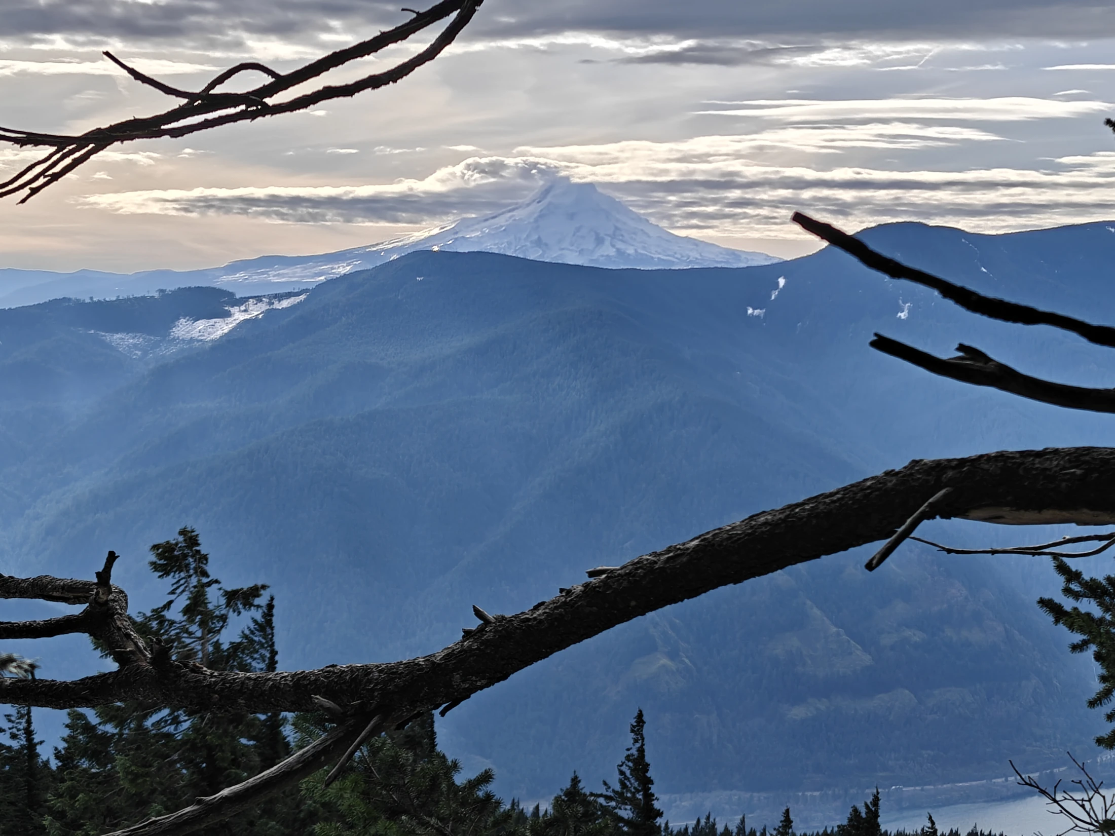
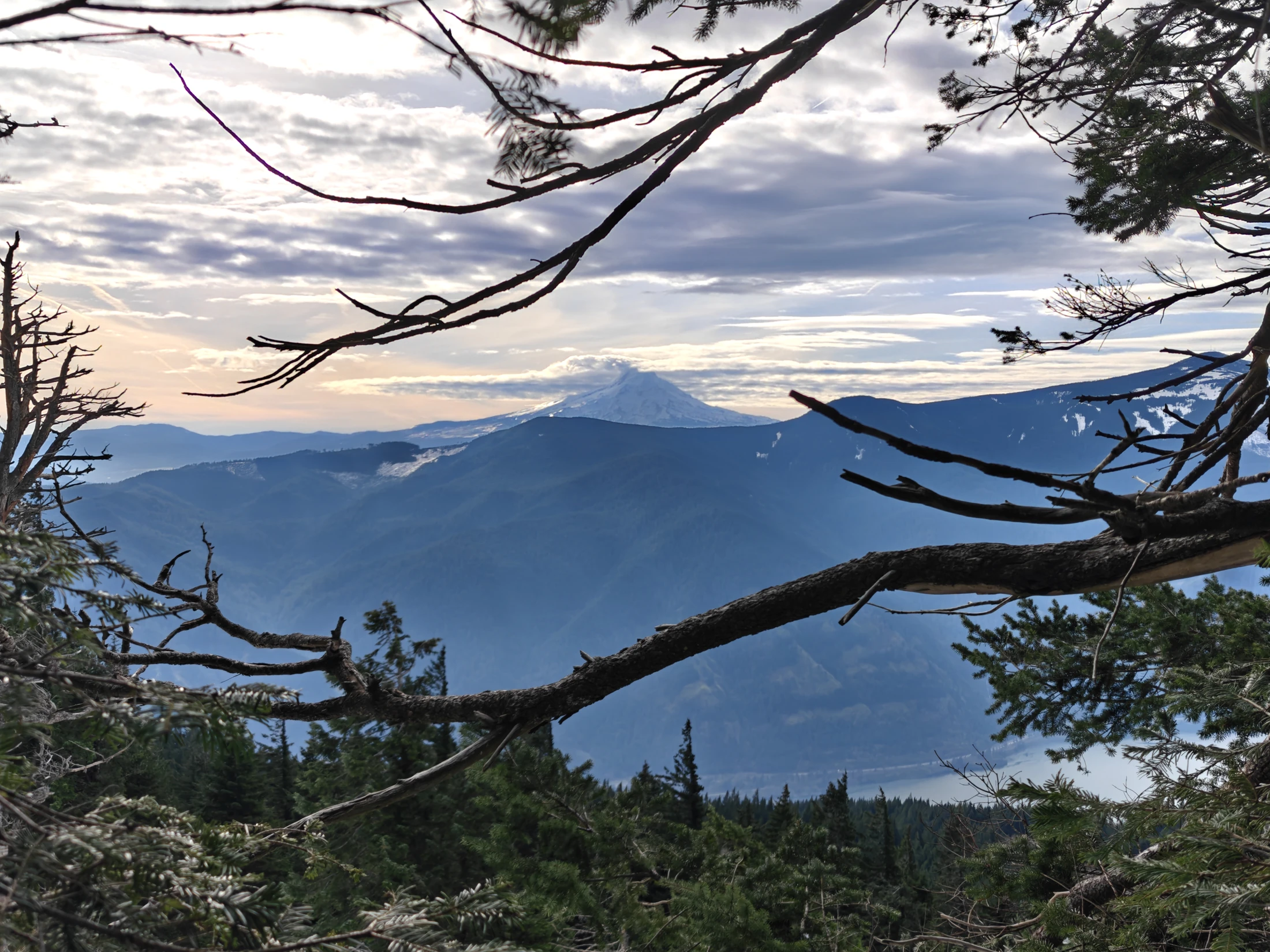
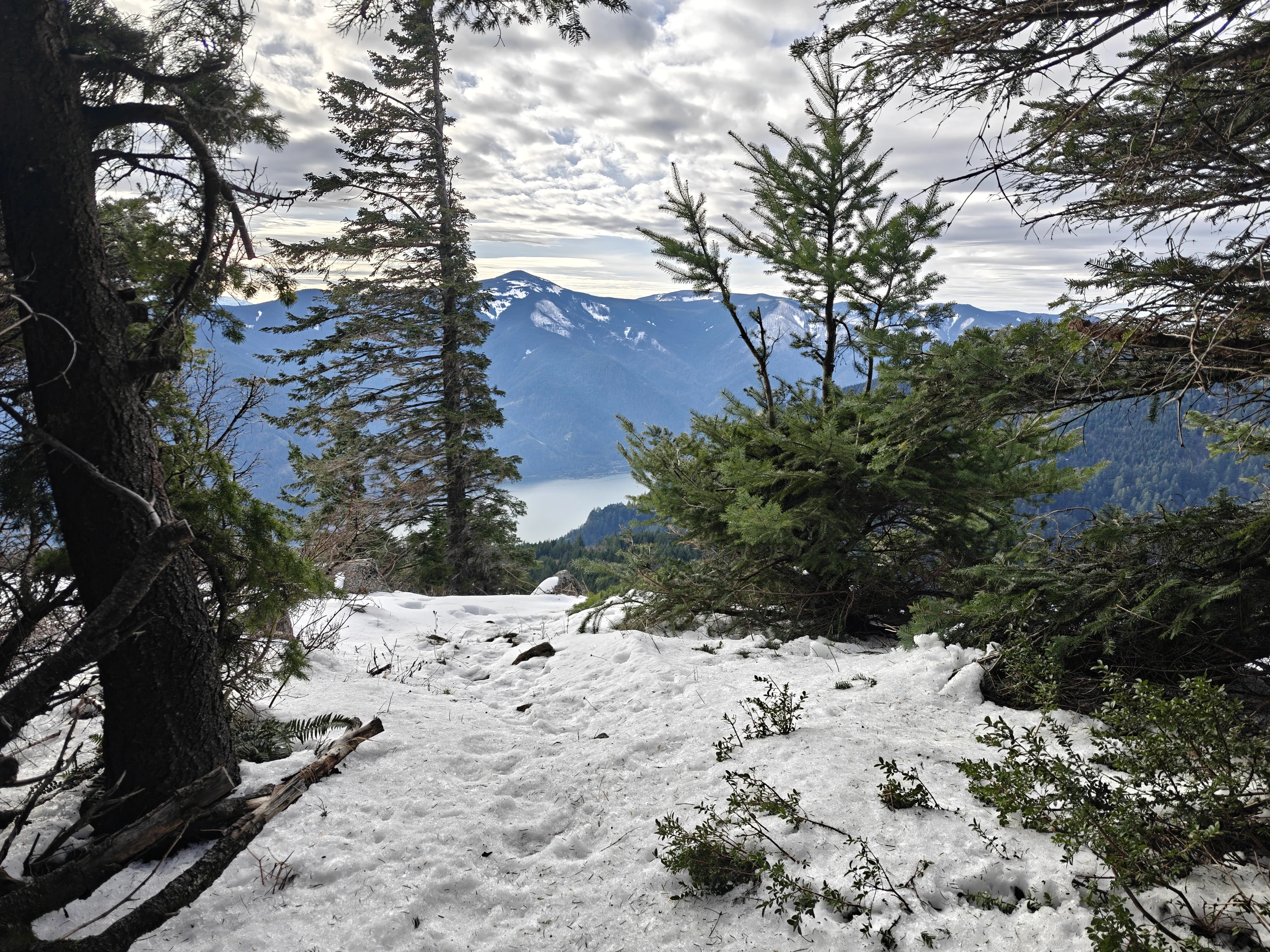
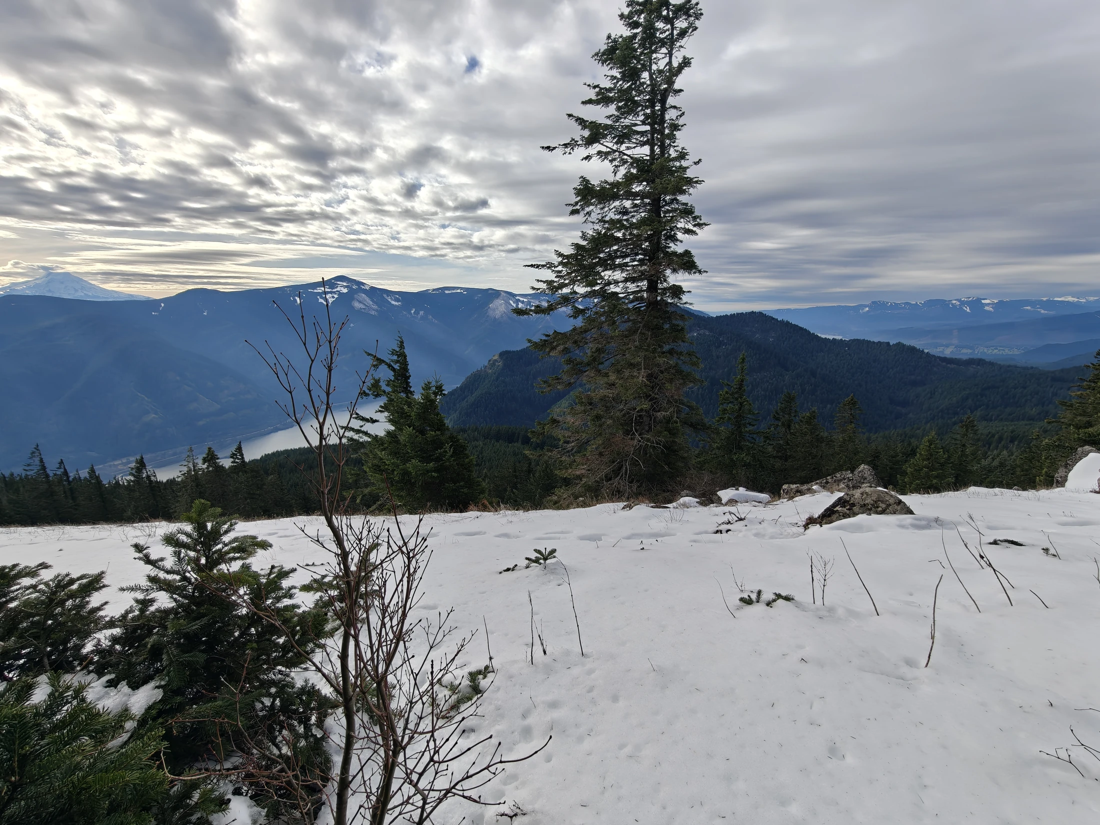
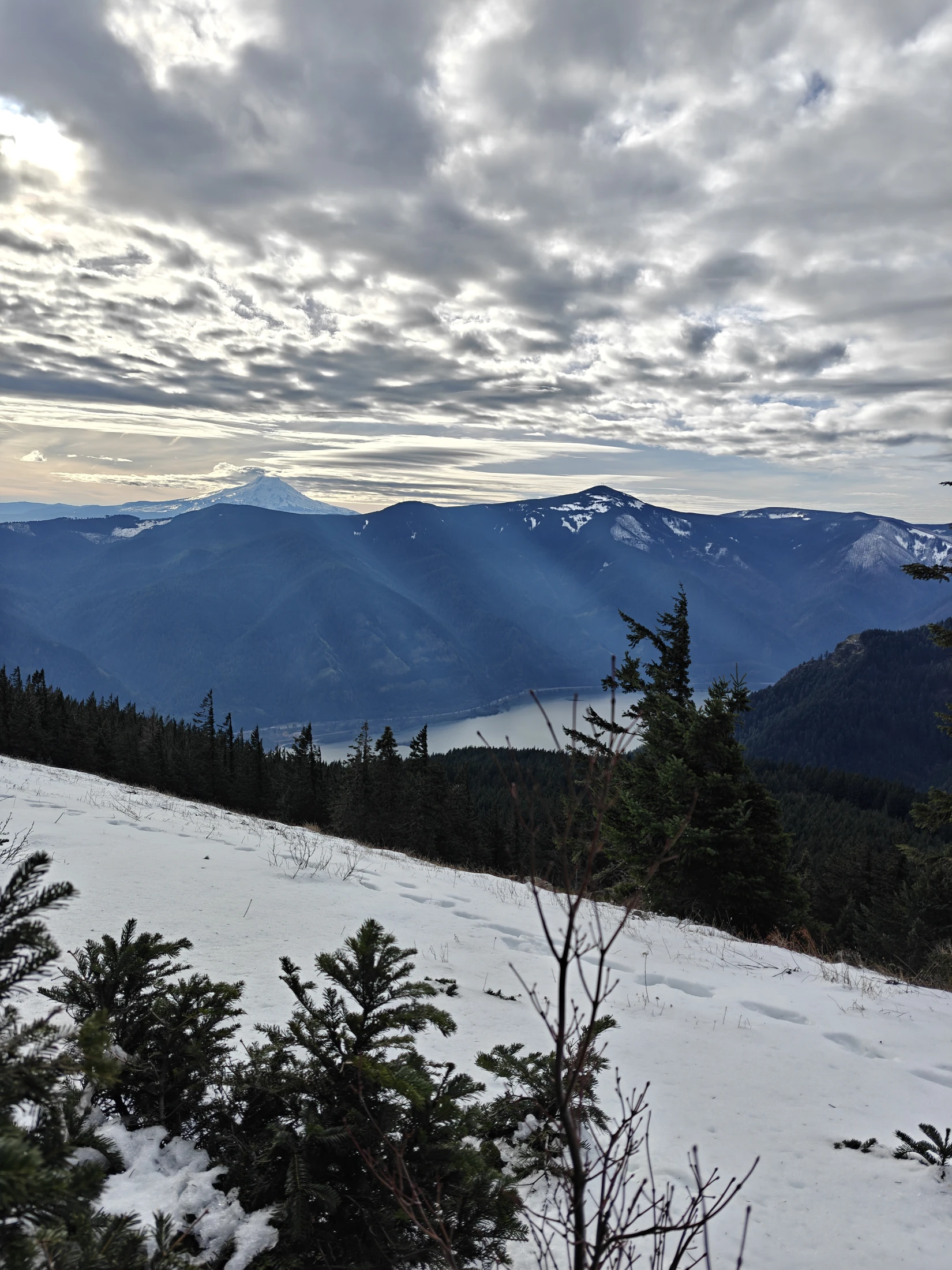
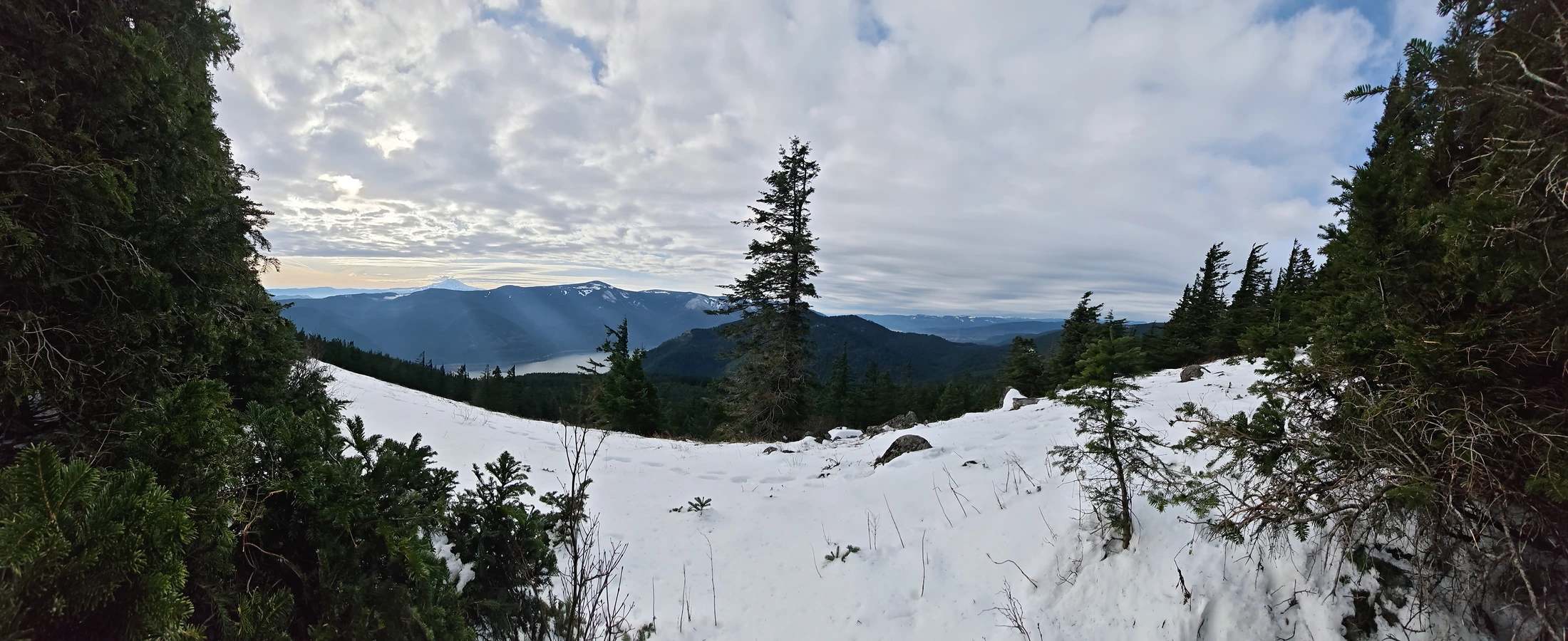
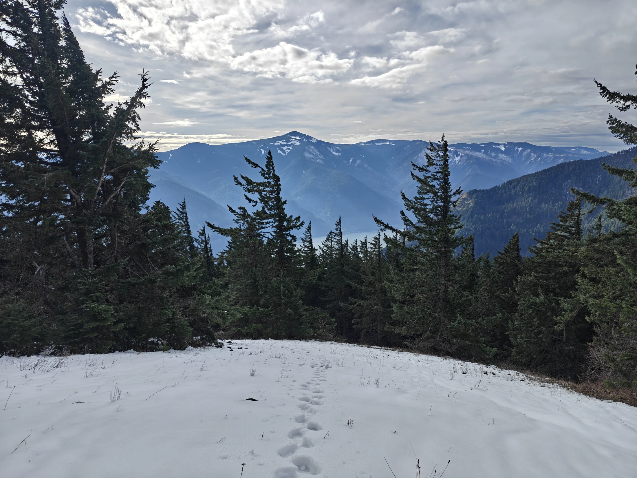
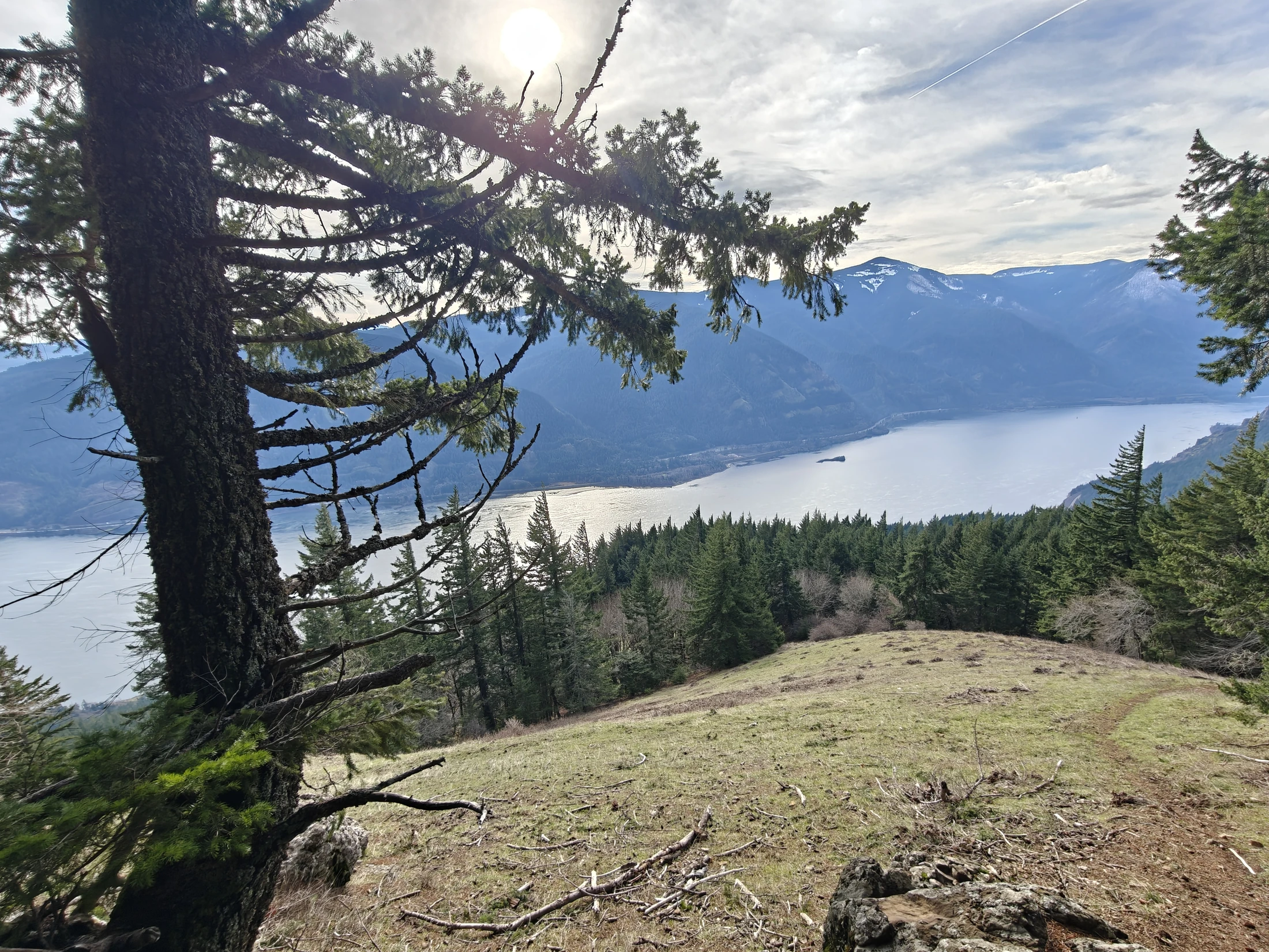
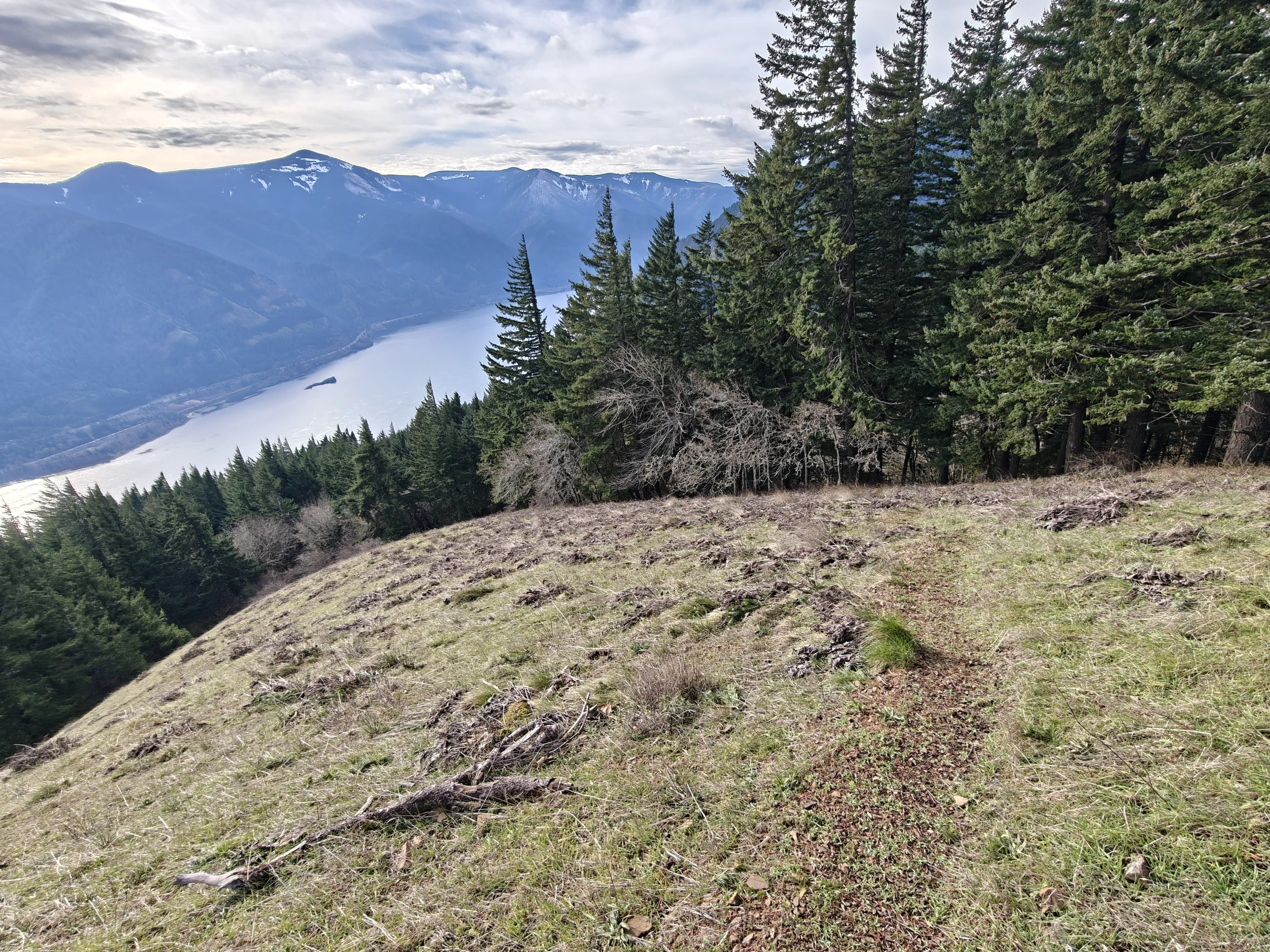
The summit was amazing. At least the lower one is...there is a higher point, but the views are obstructed by a lot of trees.
and the 360° vid...
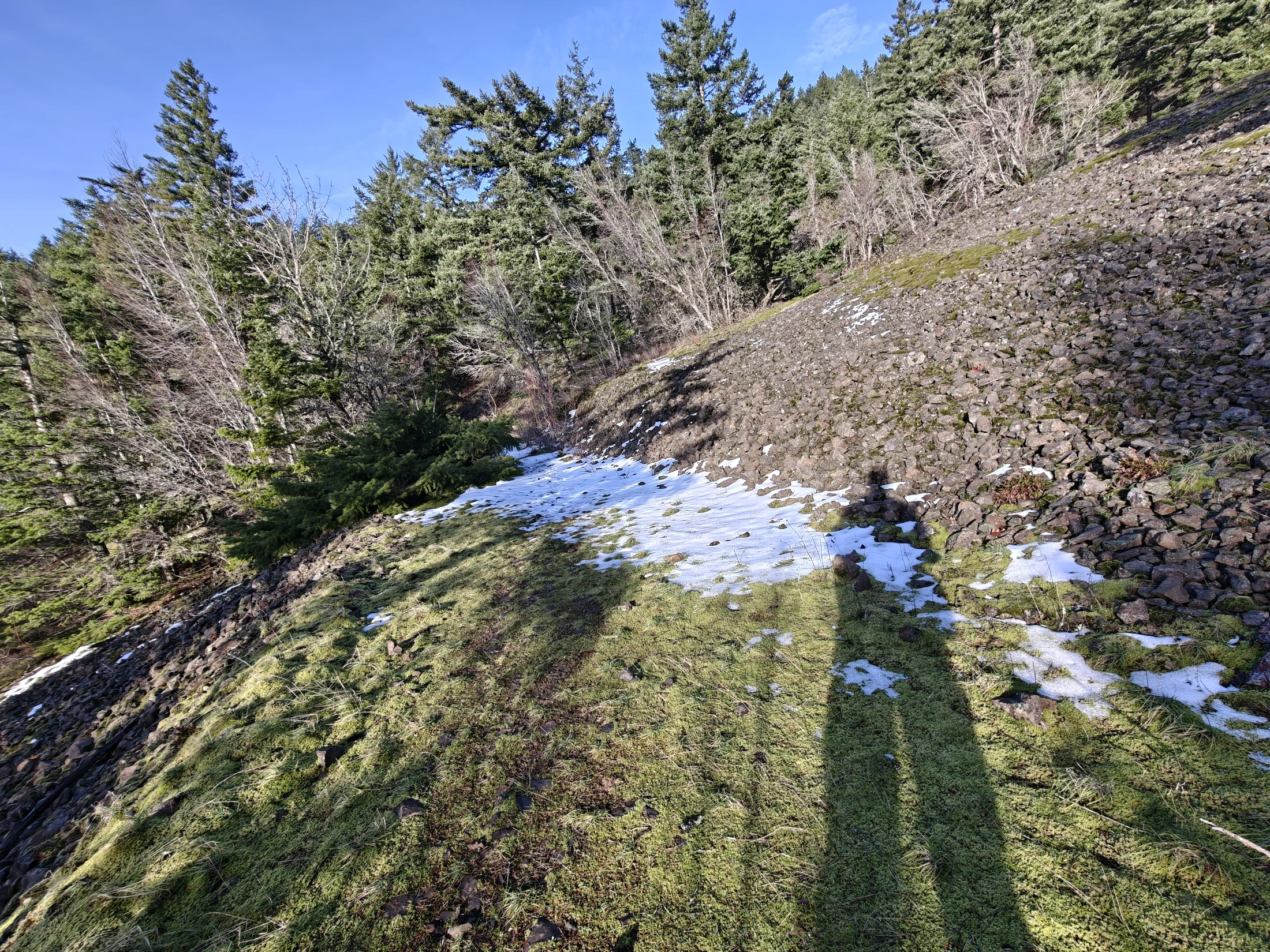
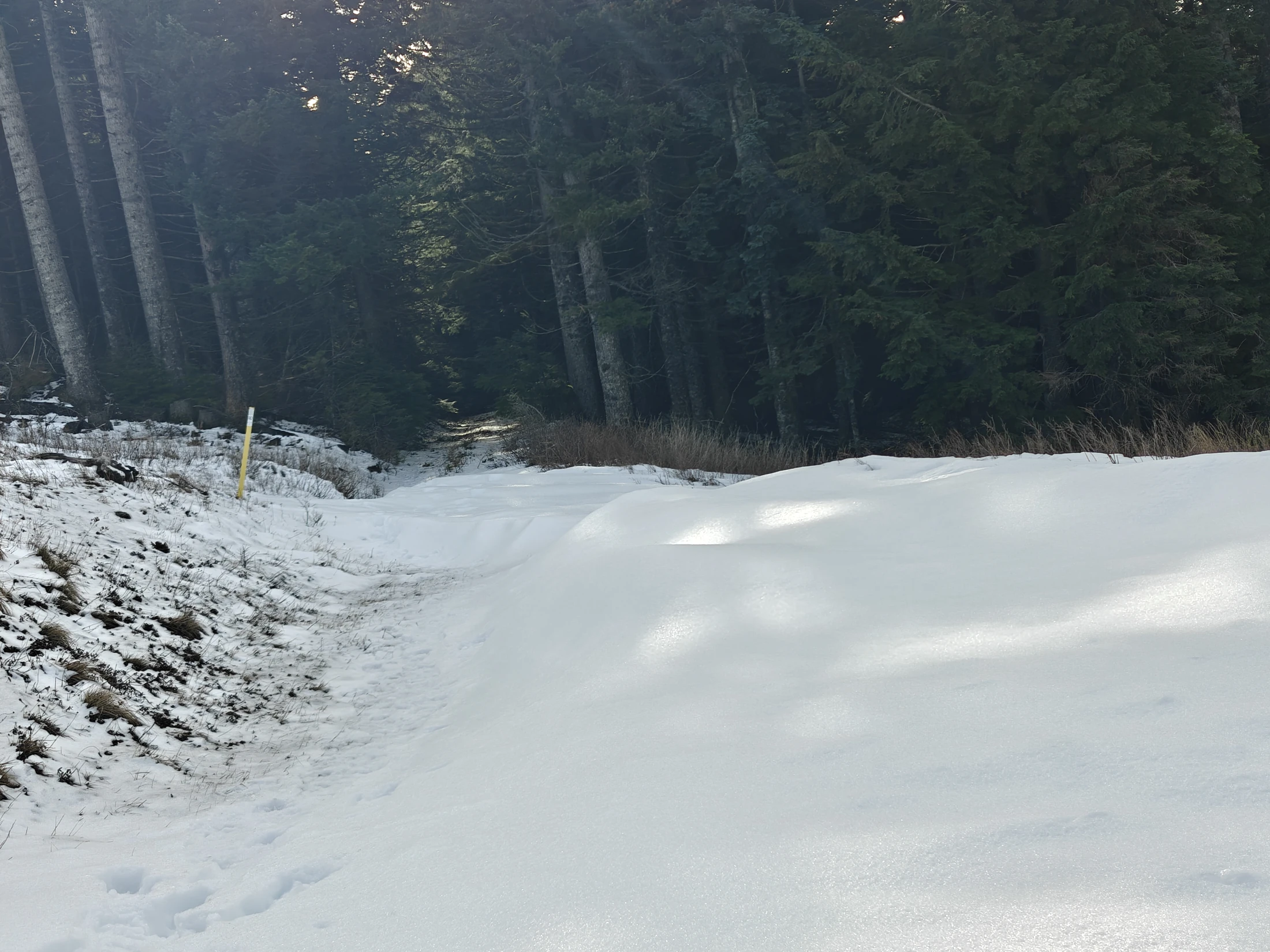
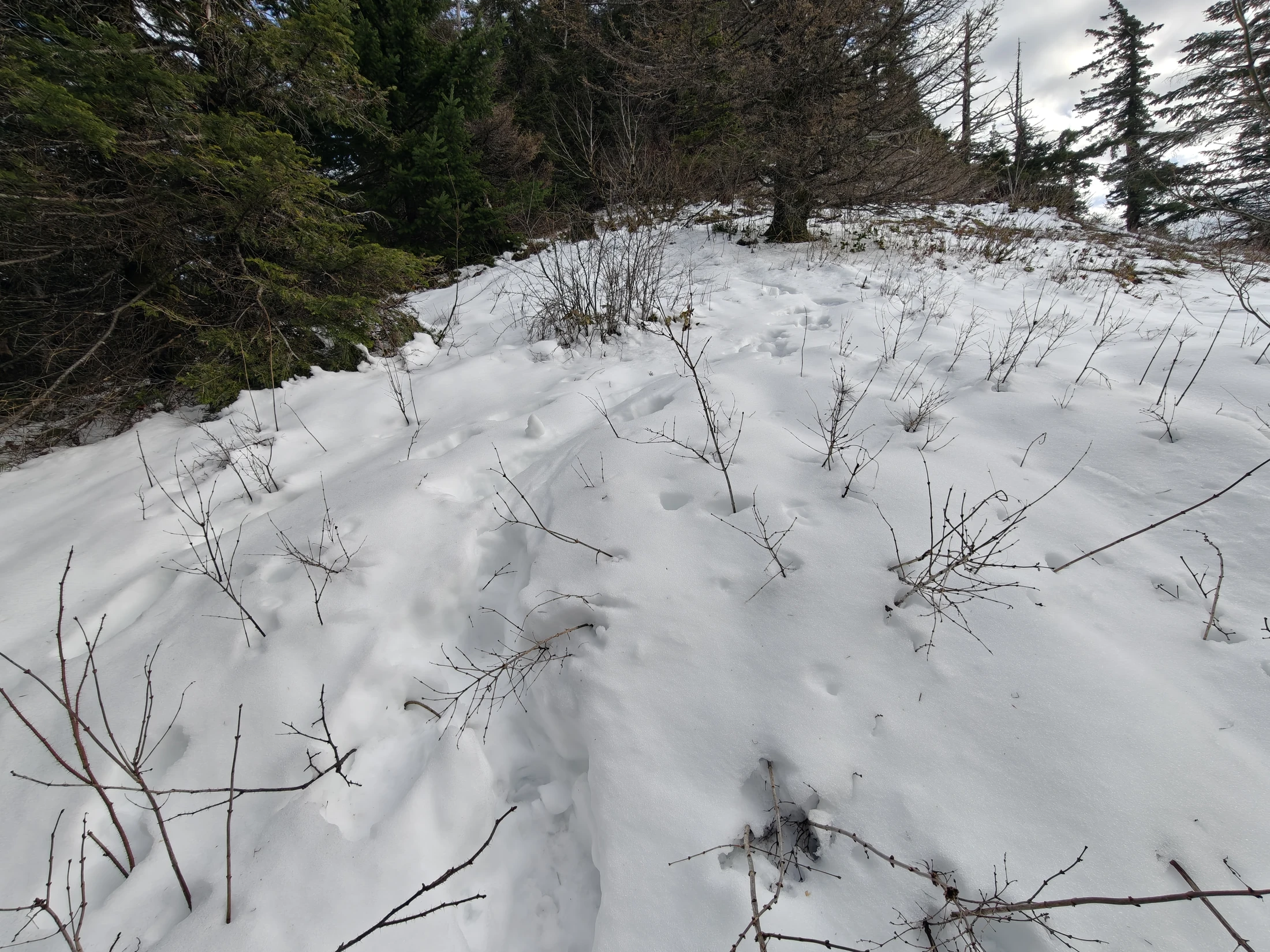
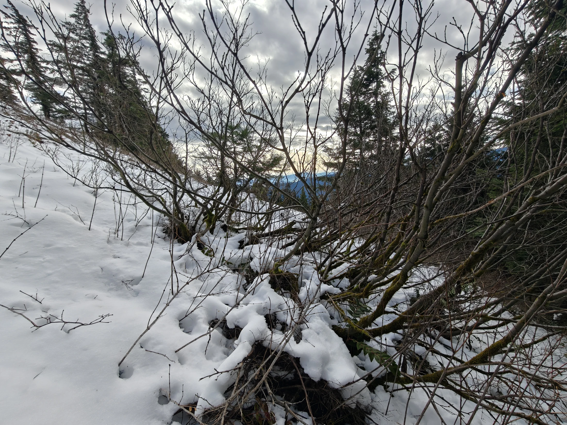
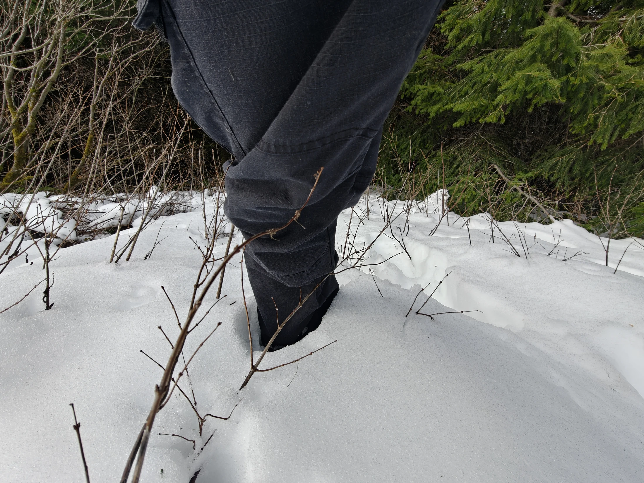
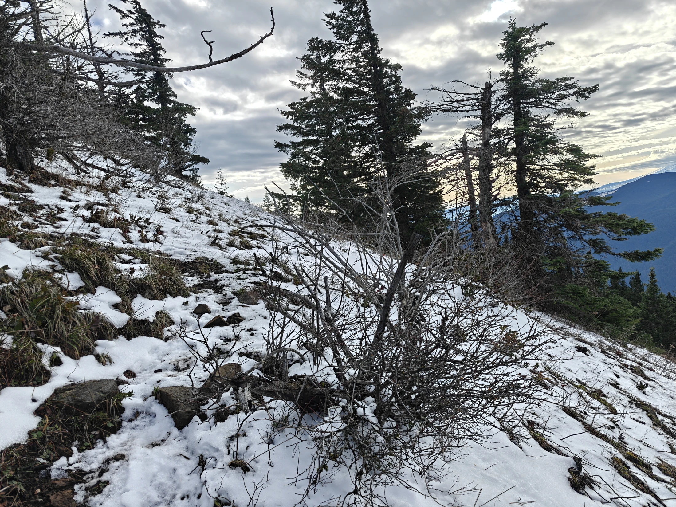
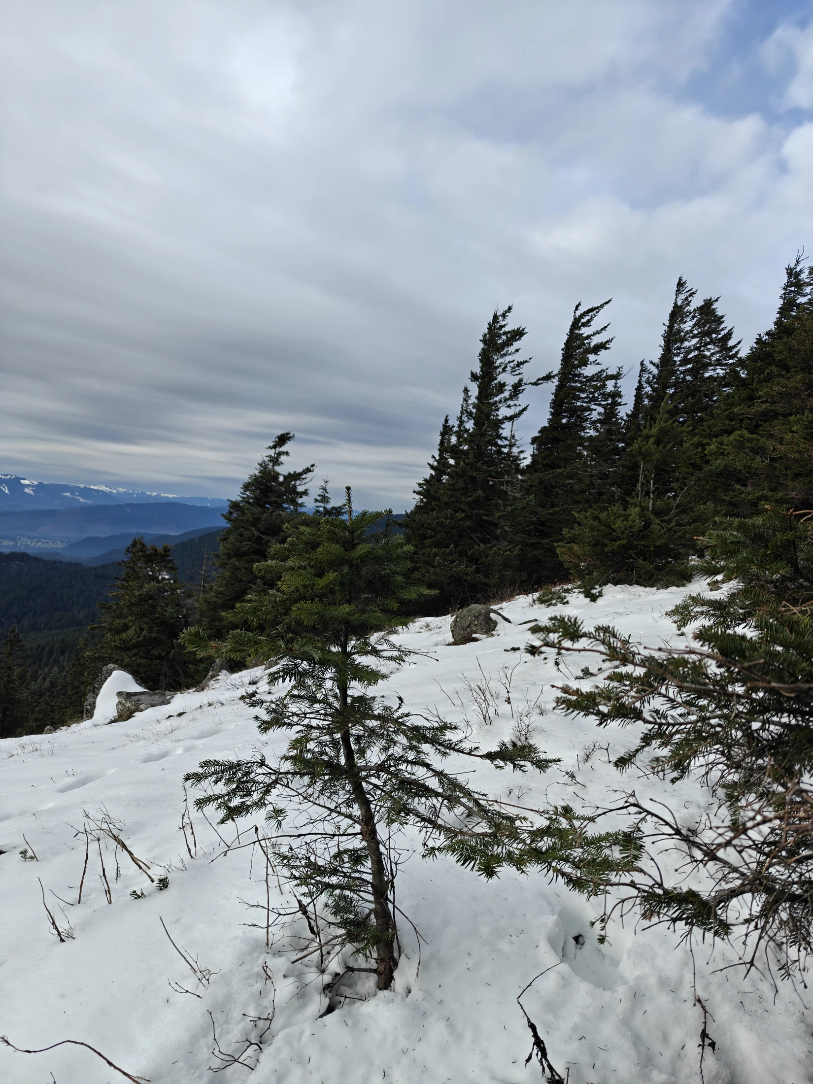
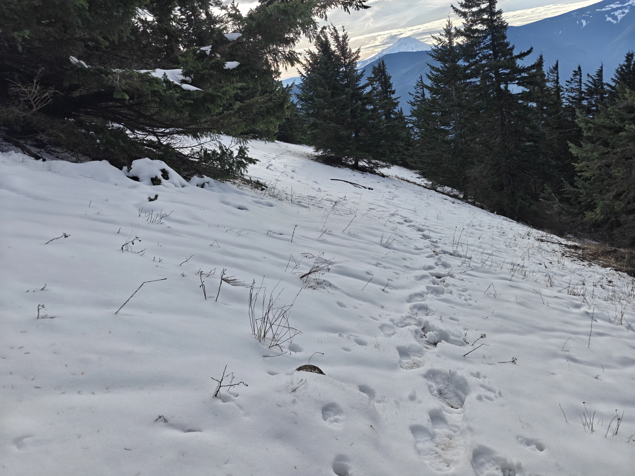
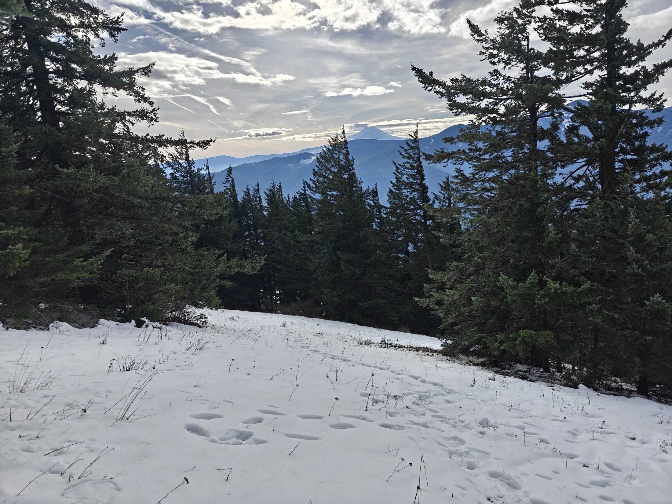
After this point, the snow became deeper and the hill became steeper and very slipper. It was a bit of a battle getting up to the actual peak.
Then... where normally the trip gets easier, this trip became strenous. There were steep snow covered sections I found nearly impossible to keep from sliding off of... And, to slide completely off the trail means sliding off a ledge into an unseen abyss.
And this section went on and on and on and on... It is very tiring constantly trying to keep your balance and not slide off a mountain. When I returned home, I ordered some microspikes on Amazon.. I will have more traction next time. I may even keep my treking poles in my bag on snowy trips.
There are more videos and shorts on my other pages.
https://www.youtube.com/@Lance4X
Pics
Add gallery of photos here.














- «
- 1
- 2
- 3
- »